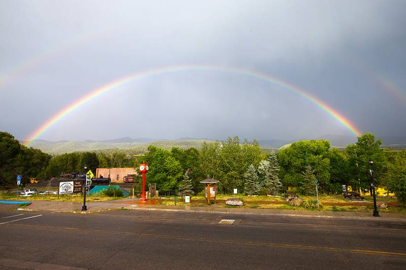
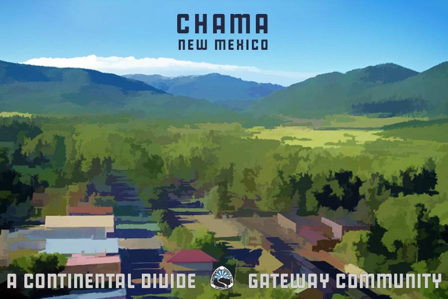
The Village of Chama is tucked below the San Juan Mountains in some of New Mexico’s finest Rocky Mountain scenery. The Tewa Puebloans were the first to inhabit the valley about 1,000 years ago. They developed extensive networks of communal irrigation canals called acequias, allowing them to grow crops successfully, and many of which are still used for farming today.
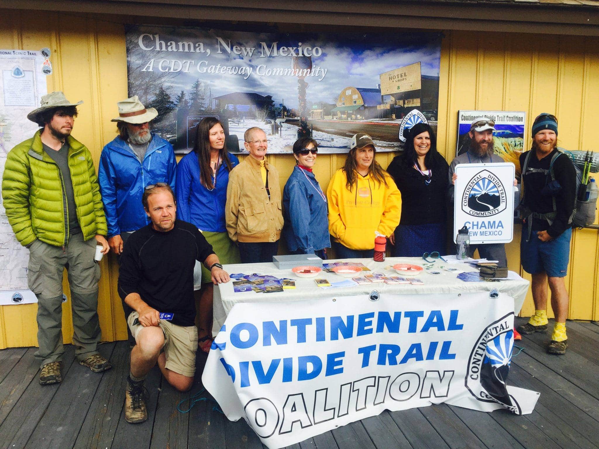
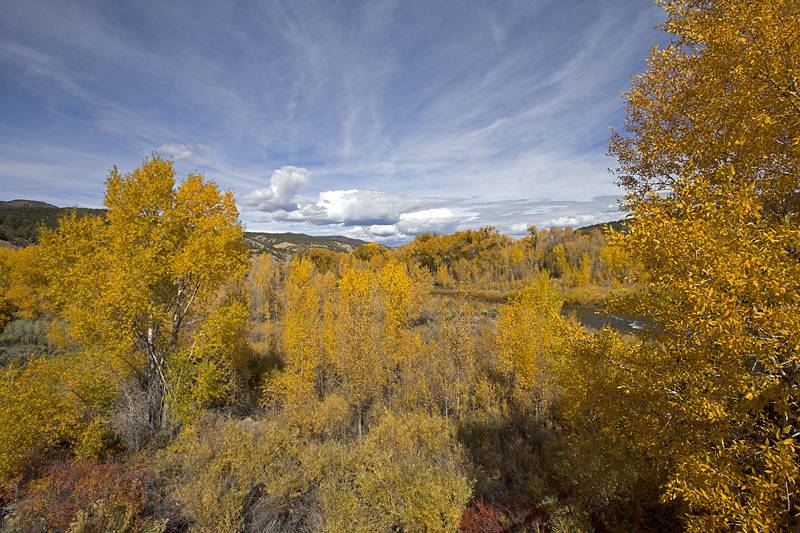
Today, Chama has become a destination for outdoor recreation, surrounded by prime fishing, hunting, and hiking opportunities in the Carson National Forest. Outdoor enthusiasts and history buffs alike are attracted here, thanks to the abundant recreation opportunities and the Cumbres & Toltec Scenic Railroad. Originally used to transport coal, lumber, and sheep, the Cumbres & Toltec Railroad takes visitors on a steam train to Cumbres Pass to experience a bit of the Old West and its fantastic mountain scenery. A small but diverse community that values its natural and cultural heritage, Chama is northern New Mexico’s hidden treasure, and you will surely enjoy a visit on your CDT trip.
Information courtesy of the Chama Valley Chamber of Commerce, Rio Arriba County, and the Village of Chama.
The closest international airport to Chama is Albuquerque International Sunport (ABQ), which is about 3 hours away via I-25 N and US-84 W. The Santa Fe Regional Airport (SAF), which is about 2 hours away via US-84 W, has direct flights from Pheonix, Arizona, Denver, Colorado, and Dallas-Fort Worth, Texas.
The Cumbres & Toltec Scenic Railroad is an excellent way to access the CDT at Cumbres Pass. CDT Thru-hikers and CDTC Members can receive a $25 ticket to ride from Chama to the Cumbres Pass station, or vice-versa. This is a unique experience and highly encouraged!
The RTD bus system is for routes that service Chama and neighboring places. Be sure to reference the North Central RTD blue bus system to get to Ghost Ranch from Chama, or Española from the south.
Real-time location on the bus system can be downloaded from a Google play app.
Ten Things to Do in Chama
Ride the Cumbres & Toltec Scenic Railroad
Visit Ghost Ranch
Learn about hand weaving at Tierra Wools
Explore the Edward Sargent Wildlife Area
Discover local art during the Chama Valley Studio Tour
Learn how to go trout fishing
Enjoy the mountains of the Rio Grande National Forest
Go stargazing
Enjoy an afternoon horseback riding
Experience the area during Chama Days
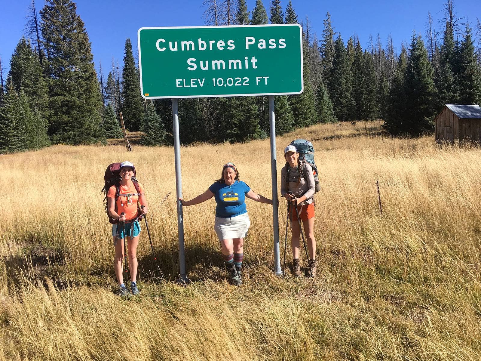
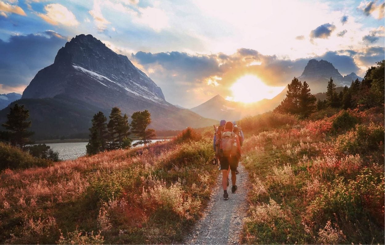
Cumbres Pass on the CDT, Colorado and New Mexico Border
Difficulty: Moderate
Length: 9 miles
Closest Town: Chama
Directions: From Chama: Drive 12 miles (into CO) on NM-17 N/CO-17 N and look for the Cumbres Pass Train Station and CDT on your left.
Maps:
USGS 7.5 quadrangles: W Fork Rio Brazos, Cumbres, and Archuleta Cr; CDTC Map Set: Maps 117 and 118, Sections NM31 and CO01.
For More Information:
Chama Visitor Center: (575)-756-2306.
I'm a thru-hiker! What do I need to know about Chama?
- wifi
- camping/ lodging
- showers
- food
- laundry
- camp supplies
- Chama Post Office
- 199 5th St W, Chama
- NM 87520
- 575-756-2240
- Lowe’s Supermarket
- 2451 US-84
- NM 87520
- 575-756-2545
- Speed Queen Laundry
- 400 Pine Ave
- NM 87520
- 575-756-2479
- Foster’s Hotel, Restaurant & Saloon
- 393 S Terrace Ave
- NM 87520
- 575-756-2296
- Eleanor Daggett Memorial Library
- 299 4th St
- NM 87520
- 575-756-2388
- Chama Visitor Center
- 2372 NM-17 (Jct Hwy 84 & 64)
- NM 87520
- 575-756-2235
- Chama Local
- 587 Terrace Ave, Chama
- NM 87520
- 575-756-1661
- Rio Chama Espresso
- 614 Terrace Ave., Chama
- NM 87520
- 575-315-0001
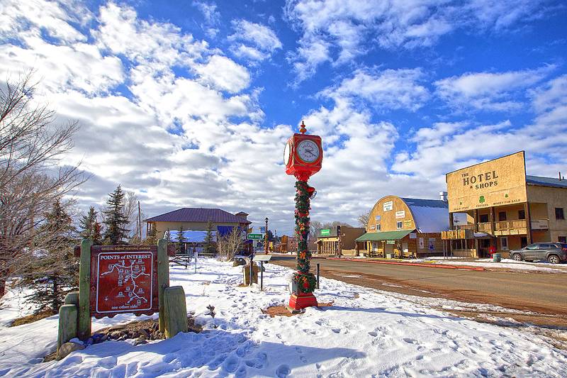
- Chama Hotel and Shops
- 501 Terrace Ave., Chama
- NM 87520
- 575-756-2416
- Tumble On Outfitters
- 500 Maple Ave., Chama
- NM 87520
Submit a place
Is the thru-hiker section above missing a business or an amenity? If so, please let us know below!
Cumbres Pass
The Continental Divide Trail crosses NM/CO-17 about 12 miles north of Chama at Cumbres Pass in the San Juan Mountains. After crossing the railroad at Cumbres Pass, take the immediate left for the Cumbres Train Station. Continue left behind the station and park at the end of the road. A short access spur trail leads from here to the CDT headed north, or cross the highway, walk downhill back toward Chama a few hundred feet, and find the CDT heading southbound back to NM on your left.
Rio Chama
Explore the Chama River Wilderness on the Continental Divide Trail on this hike through Ojitos Canyon, one of our featured New Mexico CDT sections.
Tumble On Outfitters
Information on shuttle service to Cumbres Pass is available on their website.


