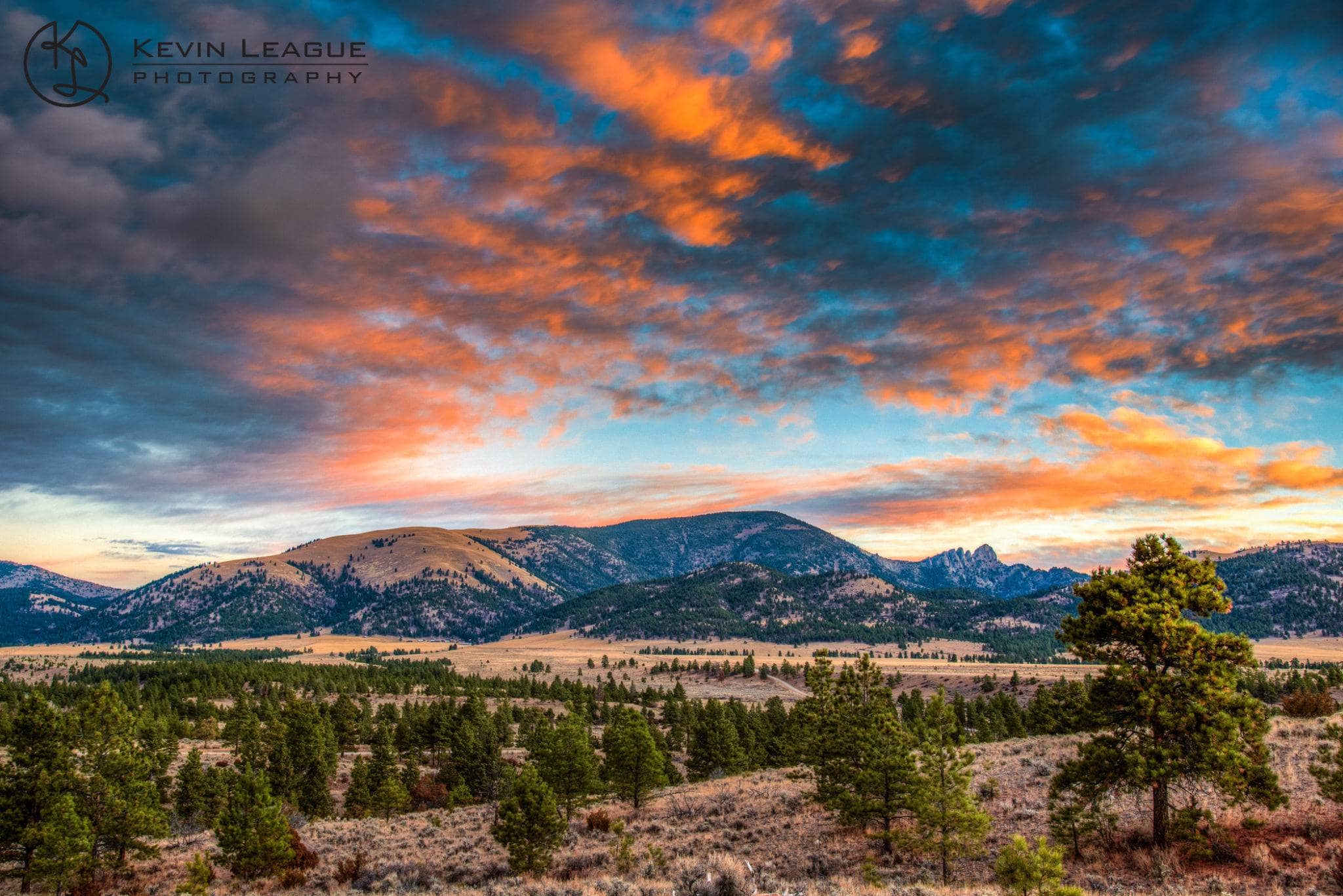
The Helena Valley was a transitional zone for a number of Native American tribes, including the Blackfeet, the Salish, the Crow, and the Bannock, with archaeological evidence indicating that people have been in the area for over 12,000 years. More recently, the Lewis and Clark expedition also crossed the valley while following the upper Missouri River in both 1805 and 1806.
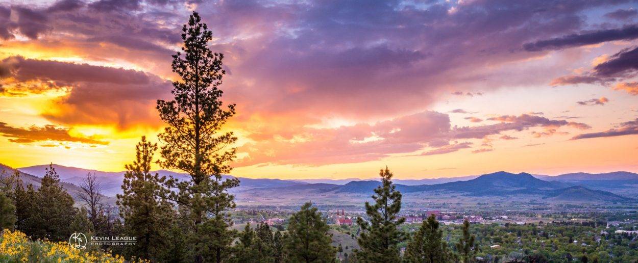
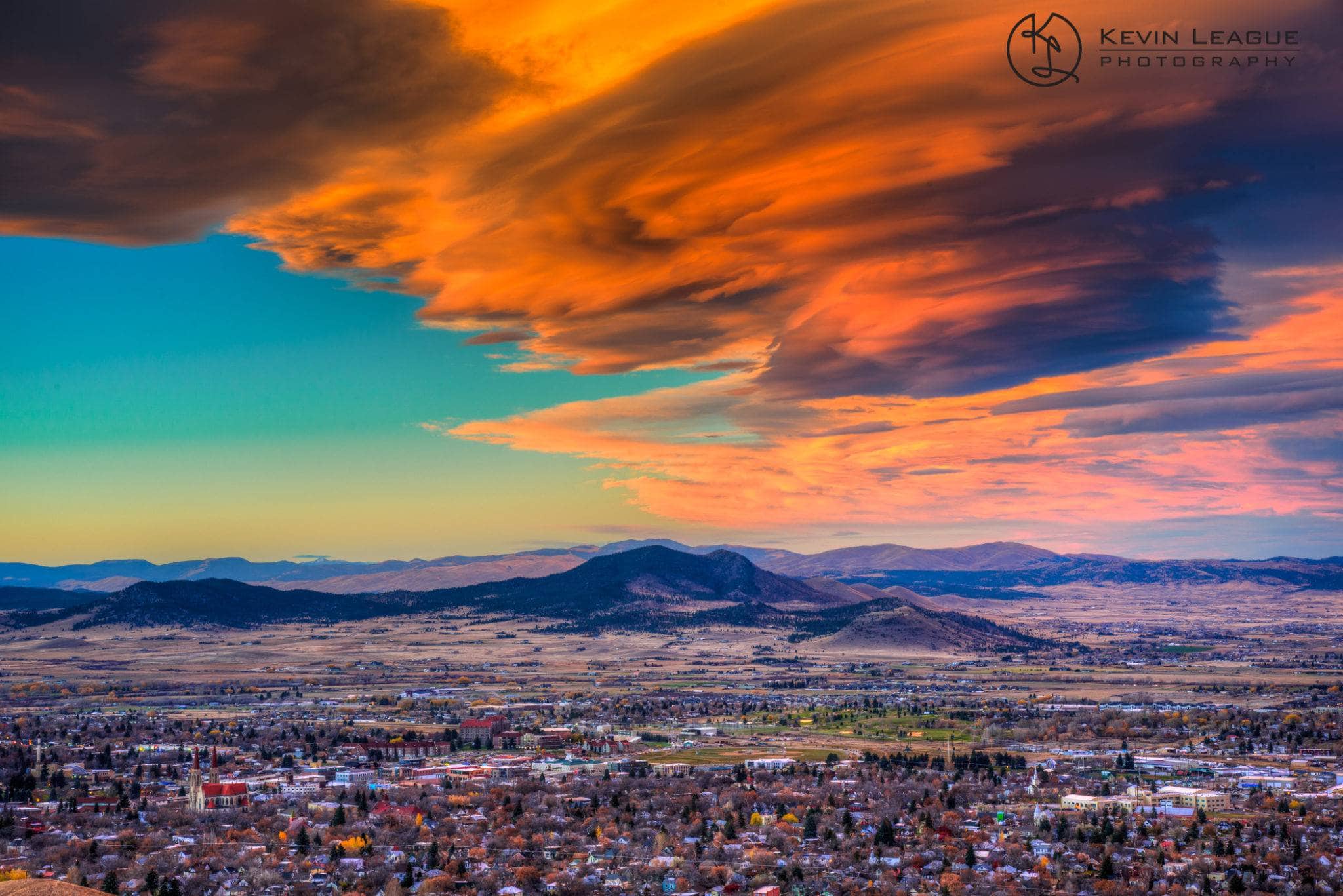
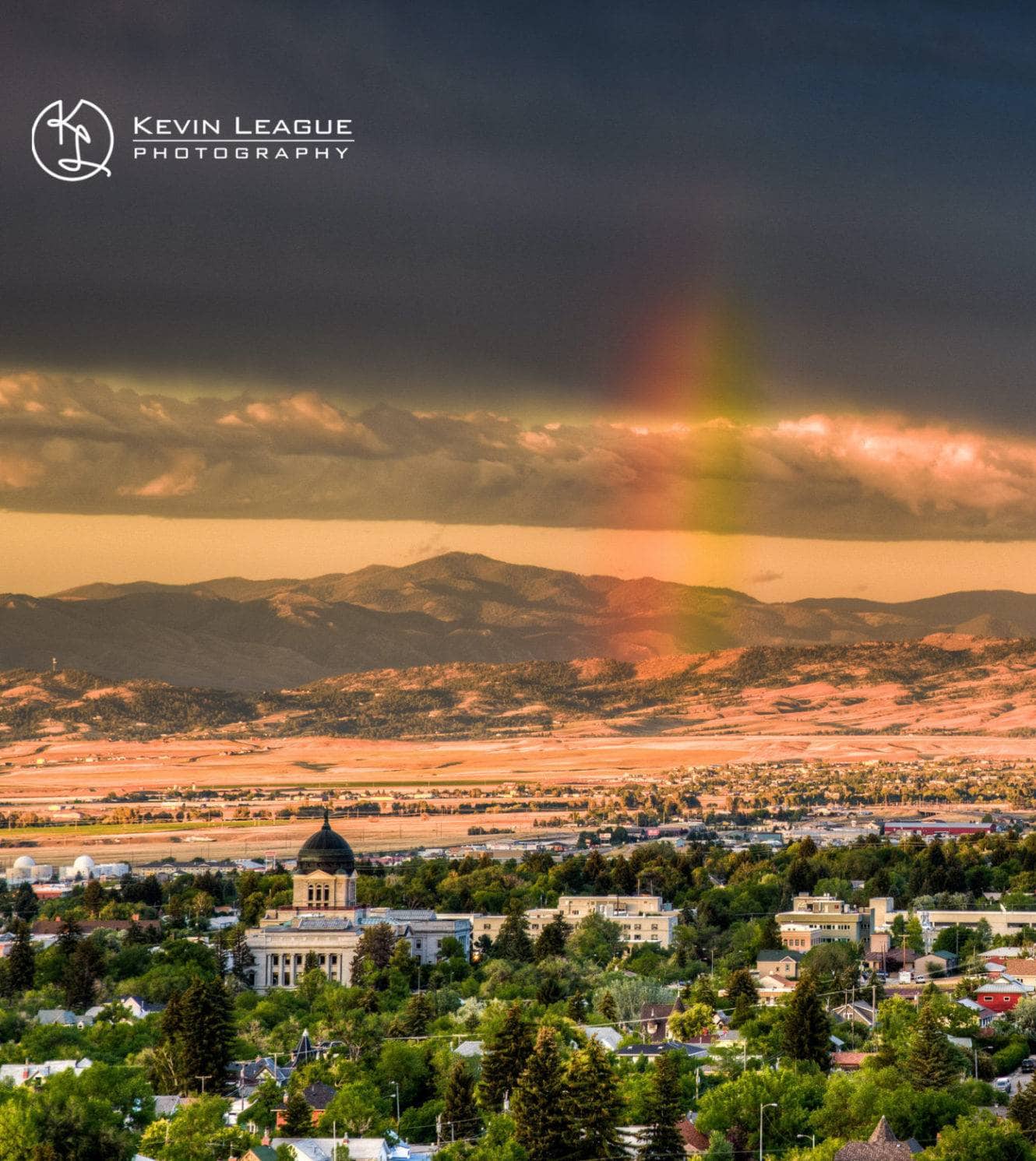
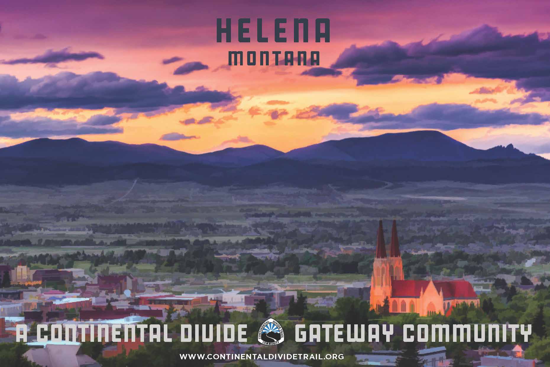
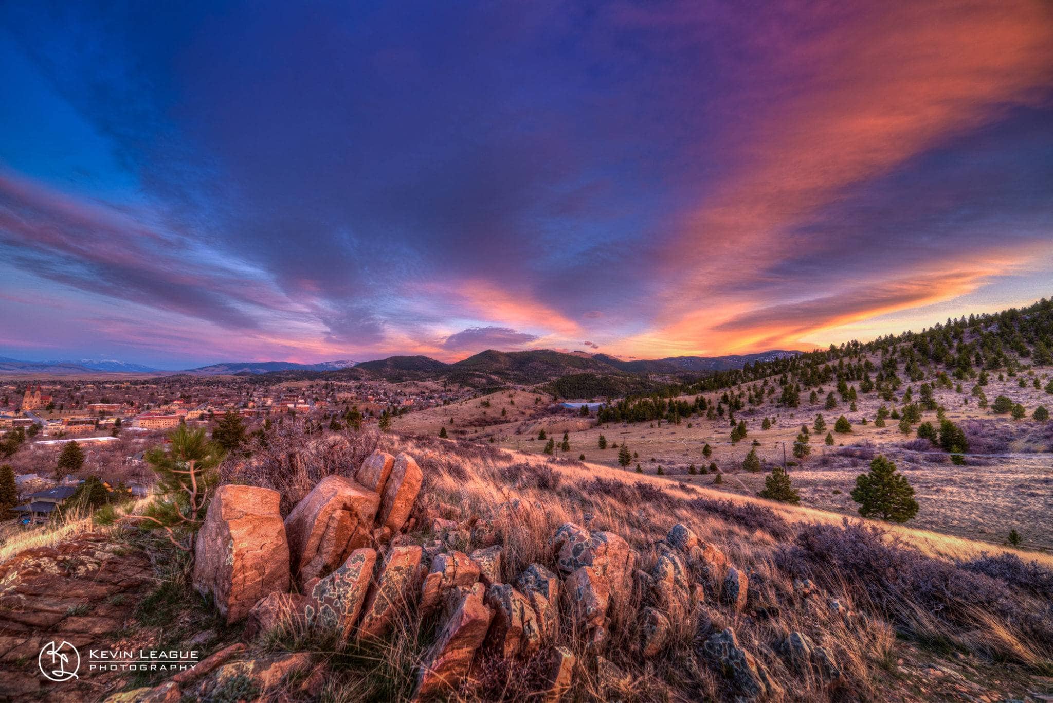
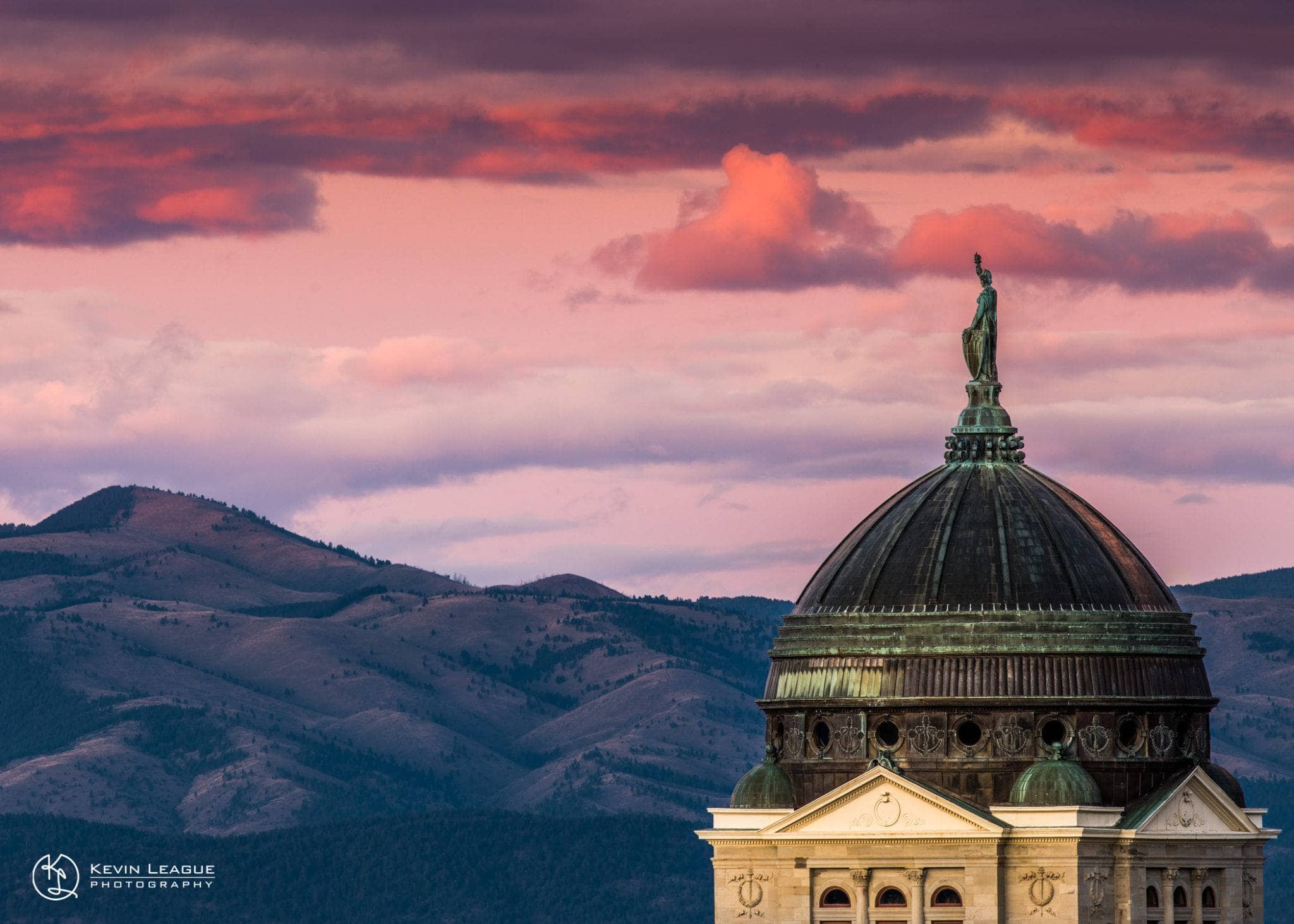
After gold was discovered in “Last Chance Gulch” on Helena’s present-day main street in 1864, the city boomed and became known as the “Queen City of the Rockies.” Helena became the capital of Montana territory in 1875 and remained the capital when Montana became a state in 1888. Even as gold resources were depleted, Helena was able to transition out of mining and sustain a growing economy and population with the development of the Northern Pacific Railroad. In recent years, agriculture in the valley and outdoor recreation in the mountains, rivers, and nearby Helena-Lewis and Clark National Forest has continued to grow and shape Helena. Hike Helena is a visitor or resident’s one-stop-shop for hikes in and around Helena.
Helena Regional Airport (HLN) is located three miles from downtown Helena and has direct service to Seattle, Salt Lake City, and Denver. The closest international airports to Helena are Bozeman (BZN) and Missoula (MSO), both just under 2 hours away by car. There are regular bus services to Helena from Bozeman, Billings, Missoula, and Great Falls, operated by Greyhound.
Check back later for more information.
Ten Things to do in Helena
Visit the Queen City
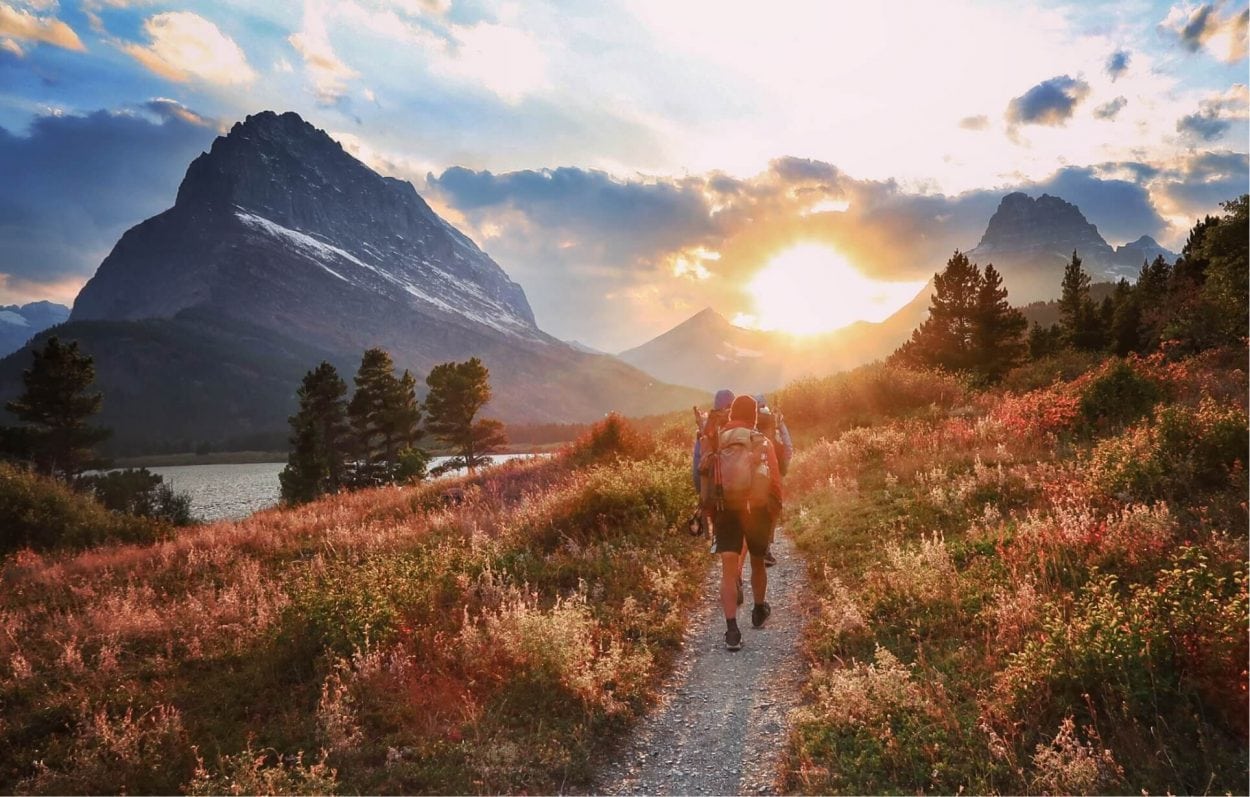
Search for the Pacific on the Lewis and Clark National Historic Trail
Tour the Missouri River at Gates of the Mountains
Dance downtown to live music
Catch a ride to the trails on Shred MT Shuttles.
Gawk at the Gothic spires of the Cathedral of St. Helena
Marvel at Montana’s wildlife at the Montana WILD Education Center
Relive the Wild West at the Montana Historical Society Museum
Discover the city’s rich history on a walking tour
Throw clay at the Archie Bray Foundation for the Ceramic Arts
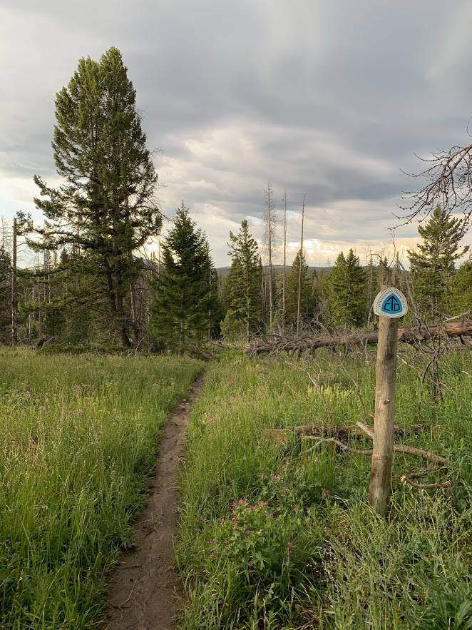
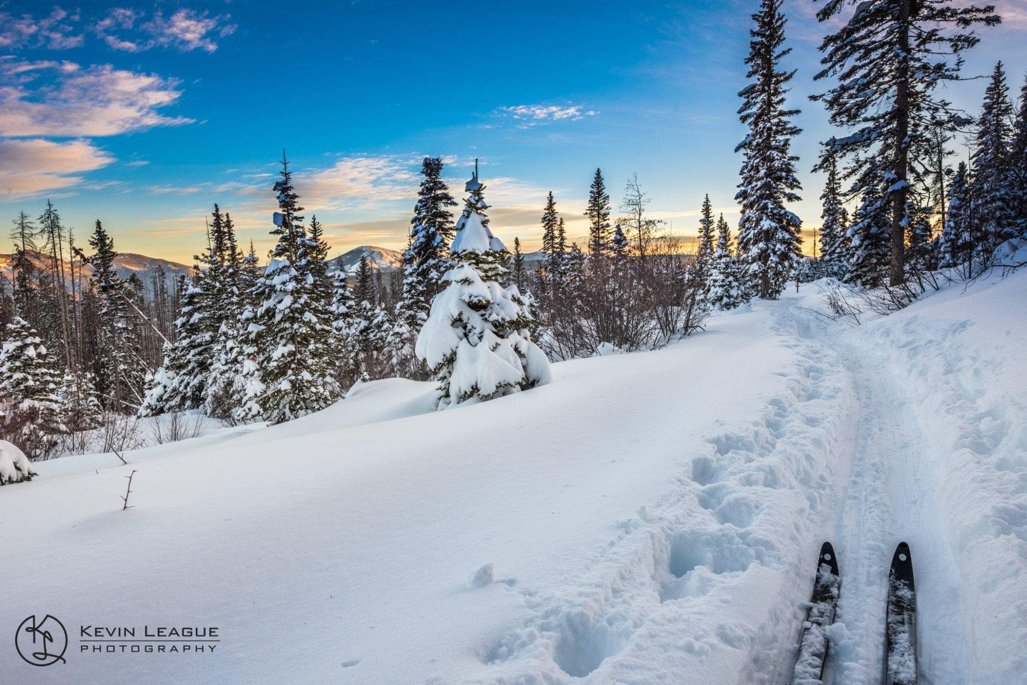
MacDonald Pass to Tenmile Creek via Switchback Ridge
Difficulty: Moderate
Length: 6.7 miles
Closest Town: Helena, MT
Directions: Directions from Helena, MT: To Ten Mile Picnic Area, head west on US-12 W/Euclid Ave for 9.2 miles. Turn left on Rimini Rd and continue for 3.5 miles until you reach the picnic area. To MacDonald Pass, take US-12 W/Euclid Ave from Helena and continue for 15.2 miles. Turn left onto Vista View and you will find parking and the CDT trailhead. While parking is limited, there is room for trucks and trailers.
Maps:
USGS 7.5 quadrangles: MacDonald Pass and Black Mountain; CDTC Map Set: Maps 369 and 370, Sections MT 19 and MT20.
For More Information:
Helena-Lewis and Clark National Forest, Helena Ranger District: (406)-449-5201. Moose Creek Campground:(406)-449-5490.
For trail shuttles: Helena’s Trail Rider program picks up at the Moose Creek Cabin and drops off at MacDonald Pass on Sundays: helenamt.com/bikehelena. Call Vigilante Shuttles Thursday through Sunday to schedule a ride from MacDonald Pass: (406)-475-2704.
I'm a thru-hiker! What do I need to know about Helena?
- wifi
- camping/ lodging
- showers
- food
- laundry
- camp supplies
- Safeway
- 611 N Montana Ave, Helena
- MT 59601
- (406) 443-3304
- Montana Outdoor Sports
- 708 N Last Chance Gulch, Helena
- MT 59601
- (406) 443-4119
- The Basecamp
- 5 E Broadway St, Helena
- MT 59601
- (406) 443-5360
- Capital Sports
- 1092 Helena Ave, Helena
- MT 59601
- (406) 443-2978
- US Post Office
- 2300 N Harris St, Helena
- MT 59601
- (406) 443-3304
- The Trail Rider to & from MacDonald Pass
- Vigilante Shuttles to & from Helena, point-to-point
- Lewis & Clark Library
- 120S Last Chance Gulch, Helena
- MT 59601
- (406) 447-1690
- Helena Visitor’s Center
- 105 Reeder’s Alley, Helena
- MT 59601
- (406) 449-2107
- The Trail Rider
- MT 59601
Submit a place
Is the thru-hiker section above missing a business or an amenity? If so, please let us know below!
Thanks to our Helena Business Members and to Visit Helena, Monta for their support.


Helena offers two easy access points to the CDT, each 20 miles or less from downtown.
From MacDonald Pass
From town take US-12W for 15 miles. At the top of the pass turn left onto Vista Point Rd and continue to the parking area. The trailhead has a bathroom, picnic tables, fire rings, and informational kiosks. Overnight parking is permitted.
From Priest Pass
Follow US-12W out of town for 9.2 miles. Turn right onto Rimini Rd and follow it for 0.2 miles before turning left onto Priest Pass Rd. Follow Priest Pass Rd for 3.2 miles until you reach the pass where the CDT crosses. Parking is limited.


