
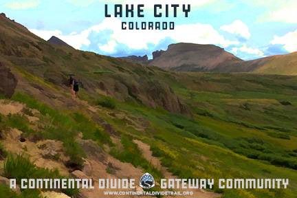
Lake City is nestled in the valley of the Lake Fork of the Gunnison River and Henson Creek. The diverse, rural county of Hinsdale includes the headwaters of the Rio Grande, the vast meadows of the upper Piedra River, and the meandering Cebolla Creek that spills into the agricultural lands of the community of Powderhorn. The Slumgullion Earthflow slid through 700 years ago, damming the Lake Fork and creating Lake San Cristobal, the second largest natural lake in Colorado. Hinsdale County is 96% public land and home to several 13,000 and 14,000 foot mountain peaks, making the county unparalleled in its opportunities for outdoor recreation and enjoyment.
Thousands of abandoned mining structures dot the hillsides. The Lake City Historic District is one of the largest in the nation. In fact, the Lake City Courthouse is largely unchanged from the September afternoon in 1877 when Susan B. Anthony spoke from its steps, and the famous 1883 trial of Alfred Packer, “The Colorado Cannibal.”The landscape is defined by trails created by three of the seven nomadic bands of the Ute tribe, Spanish explorers and prospectors in the 1600s, fur trappers in the 1830s, miners and settlers in the 1870s, Otto Mears, who blazed paths through the San Juan Mountains in the late 1800s, and by outdoor enthusiasts coming to the mountains in the post-World War II era.
These trails became 4×4 roads, railroad grades, scenic byways, and pathways for many kinds of travel. The community of Lake City offers a respite on your CDT adventure.

Driving
Lake City is located in the San Juan Mountains of southwestern Colorado, about 55 miles south of Gunnison on State Highway 149, and 74 miles north of South Fork. State Highway 149, also known as the Silver Thread Byway, is open year-round. This road is plowed daily in the winter from 5 AM – 7 PM. See road conditions and status at CoTrip.org.
Flying
The Gunnison-Crested Butte Regional Airport (GUC), is about a one-hour drive away with car rentals available.
The Montrose Regional Airport (MTJ), is about a two-hour drive away with car rentals available.
The Lake City Trail Shuttle is an all volunteer service that runs daily from July 1st – August 31st. The shuttle will leave the the Hiker Center (418 Silver Street, Lake City, CO 81235) at 12:00pm and Spring Creek Pass at 12:30pm.
Eight Things to do in Lake City
Visit the Hinsdale County Museum
Spend some time at Lake San Cristobal
Stroll the streets of the historic downtown
Explore the historic Ute Ulay Mine on this Arts and History trip itinerary
Catch a show at the Lake City Arts Center
Relax at the Mountaineer Movie Theatre
Play a round of mini golf
Enjoy a festival or event
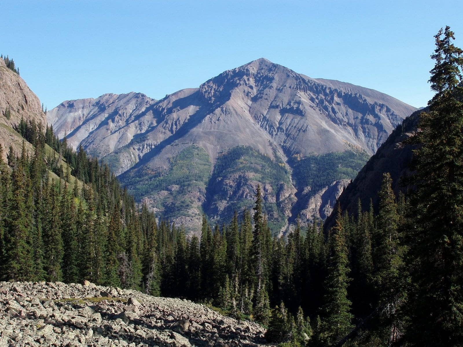
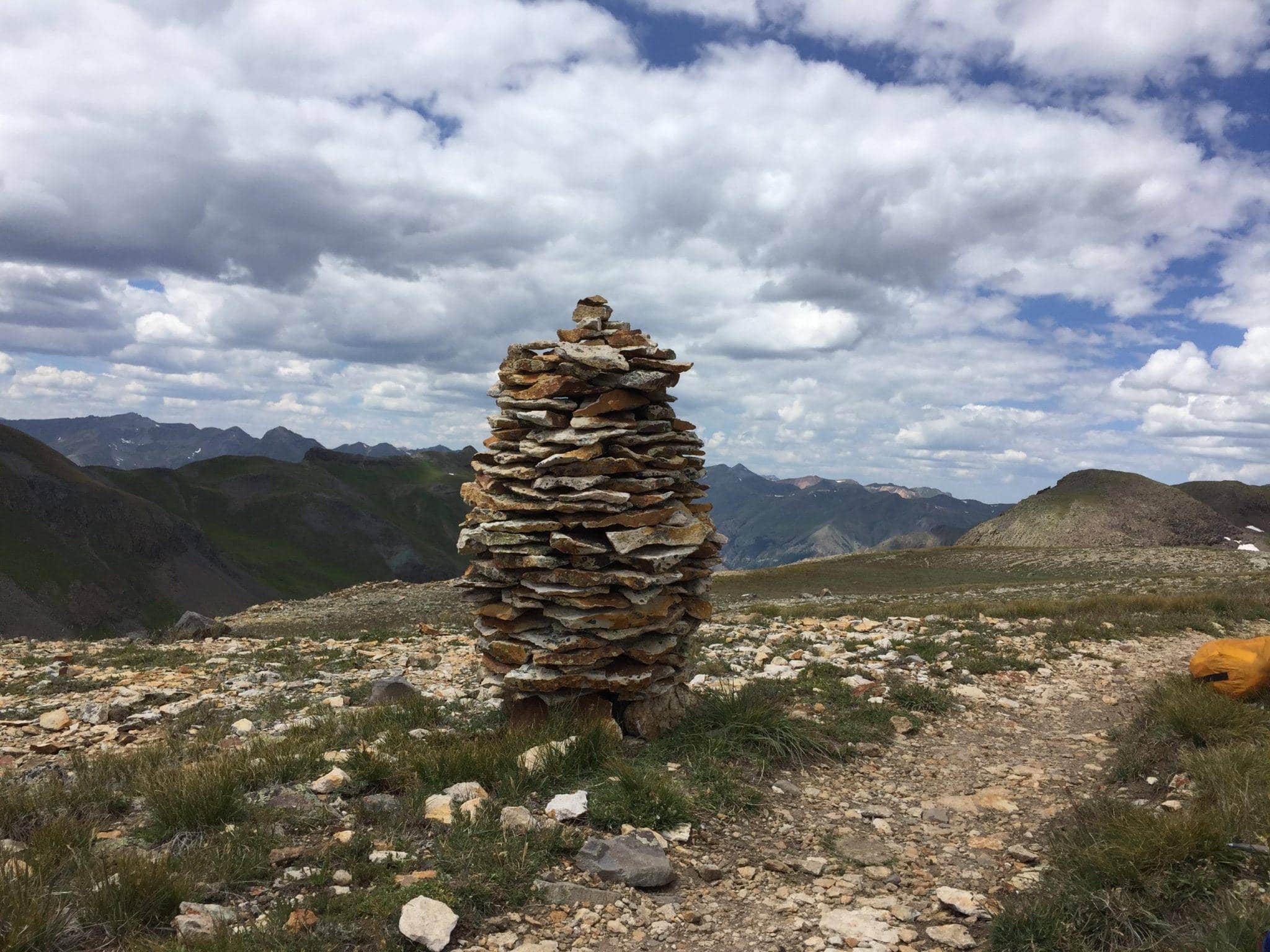
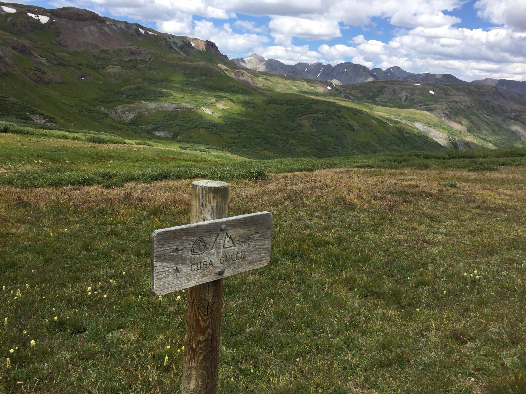
Cataract Lake, Gunnison National Forest
Difficulty: Difficult
Length: 13+ mile loop.
Directions: Cataract Gulch Trailhead: From Lake City drive 2 miles south on Highway 149 and turn right on the Cinnamon Pass Road (County Road 30) toward Lake San Cristobal. Continue following Cinnamon Pass Road to the Sherman townsite fork. Take the left fork (County Road 18X) to Sherman townsite. The marked Cataract Gulch trailhead is approximately 0.5 miles after the bridge. Cuba Gulch Trailhead: Continue east on County Road 18X for approximately 3 miles and the trailhead will be on the south side of the road.
Maps:
USGS 7.5 Quadrangles: Howardsville, Pole Creek Mountain, Trails Illustrated #141
For More Information:
Gunnison National Forest – http://www.fs.fed.us/r2/gmug/ and information from Sangres.com – http://www.sangres.com/nationalforests/gunnison/
OLYMPUS DIGITAL CAMERA
I'm a thru-hiker! What do I need to know about Lake City?
- wifi
- camping/ lodging
- showers
- food
- laundry
- camp supplies
- Lake City Post Office
- 803 Gunnison Ave, Lake City
- CO 81235
- 800-275-8777
- Raven’s Rest Hostel
- 207 N. Gunnison Ave, Lake City
- CO 81235
- 970-944-7119
- The Country Store
- 916 Hwy 179, Lake City
- CO 81235
- 970-944-2387
- The Sportsman Outdoors & Fly Shop
- 238 Gunnison Ave, Lake City
- CO 81235
- 970-944-2526
- Lake City Public Library
- 206 N. Silver St, Lake City
- CO 81235
- 970-944-2615
- Lake City / Hinsdale County Visitor Center
- 800 Gunnison Ave, Lake City
- CO 81235
- 970-944-2527
- The Lock Sock Laundromat
- 808 Gunnison Ave
- Lake City, CO 81235
- (970) 944-2401
- Lake City Hiker Center
- 418 Silver Street
- Lake City, CO, 81235
- 970-944-2514
- The General Store
- 252 S Gunnison Ave
- Lake City, CO 81235
- (970) 944-2513
- The River Fork RV Park and Campground
- 112 North Henson Street
- Lake City, Colorado 81235
- (970)944-9519
Submit a place
Is the thru-hiker section above missing a business or an amenity? If so, please let us know below!
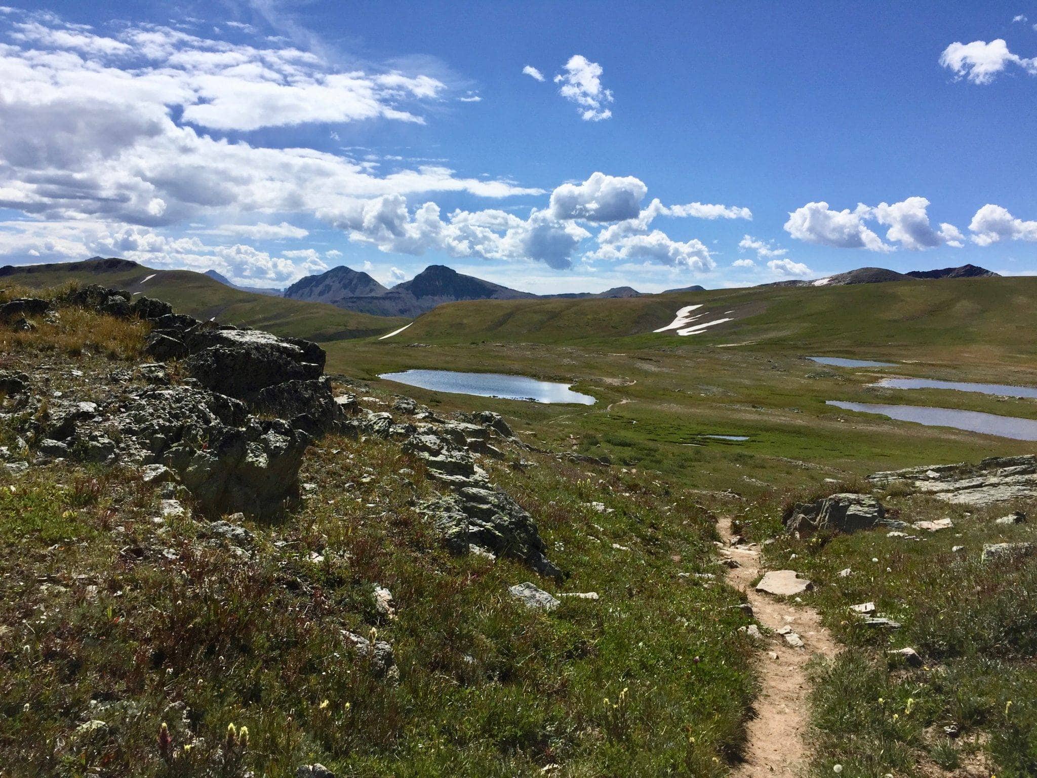
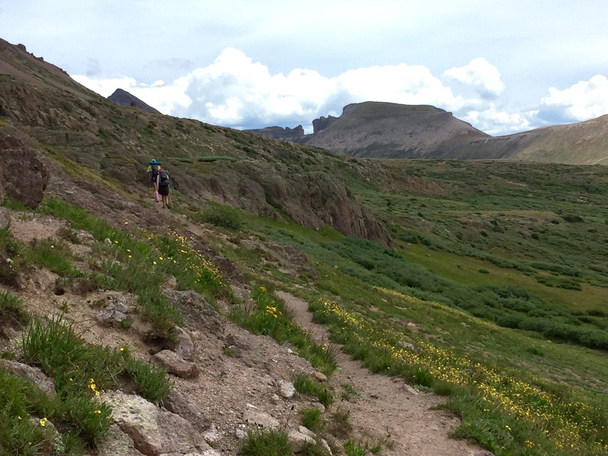
Spring Creek Pass East
The CDT sits about 18 miles south of Lake City and is most easily accessed at Spring Creek Pass. Heading east at this trailhead will take users to Snow Mesa, the largest tundra in the continental United States. The edge of Snow Mesa is just under 2 miles, but those looking for a longer hike can easily travel farther on this section. There is an elevation change, descending about 1,500′, that trail users should be aware of should they choose a longer hike.
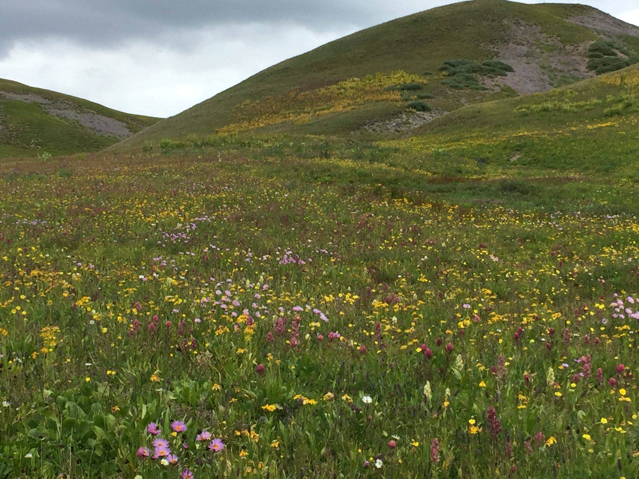
Spring Creek Pass West
Heading west from Spring Creek Pass will take trail users to Jerosa Mesa. The trail descends roughly 1,000′ along this section of trail, and the best views start at about 5 miles in.


