Native Americans have lived in the Blackfoot Valley for at least 10,000 years, using it primarily as a hunting ground. Territory was contested between different tribes, none of whom established permanent settlements. The Nez Perce name for the Blackfoot River, Cokalahishkit, means “river of the road to the buffalo.”
Merriweather Lewis famously took this route on his return journey from the Pacific Ocean in 1806. Montana Highway 200, stretching from Idaho to North Dakota, follows the path of this historical trail.
Founded over 150 years ago, Lincoln began its life as a mining outpost during the gold boom of the 1860s. By the time the boom died out in the 1970s, Lincoln had been established as a settlement and continued to attract tourists to its nearby wilderness areas.
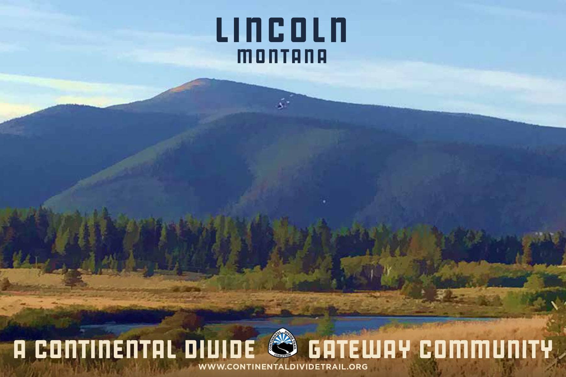
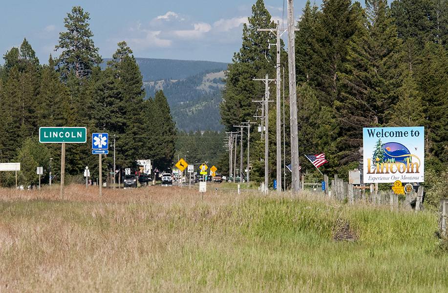
Lincoln is situated in the Blackfoot Valley along MT Highway 200. It lies between two commercial airports, located in Great Falls and Missoula, MT. The Missoula International Airport (MSO) is about 1.5 hours away via MT-200 E. The Great Falls International Airport (GTF) is also about 1.5 hours away from Lincoln via MT-200 W. Cars can be rented at either location.
Check back later for more information.
Nine Things to do in Lincoln
Take in some art at the Blackfoot Pathways
Learn some history at the Upper Blackfoot Valley Historical Society
Take a hike in the area
Enjoy a 4th of July celebration
Explore a nearby ghost town
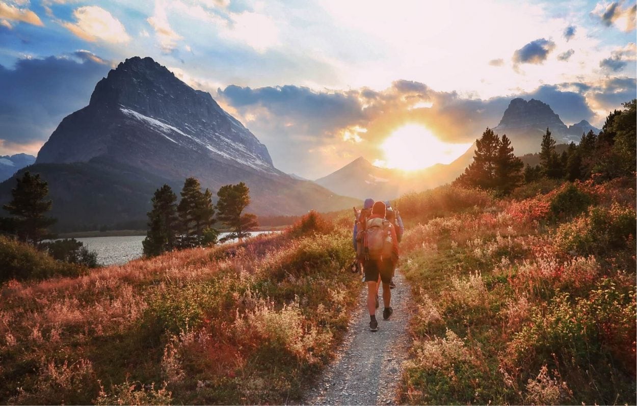
Go on a wilderness adventure
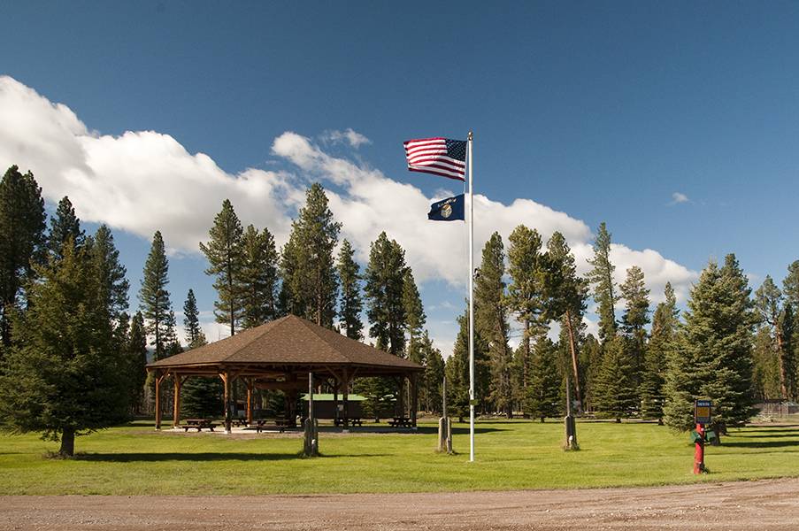
Spend some time at Hooper Park
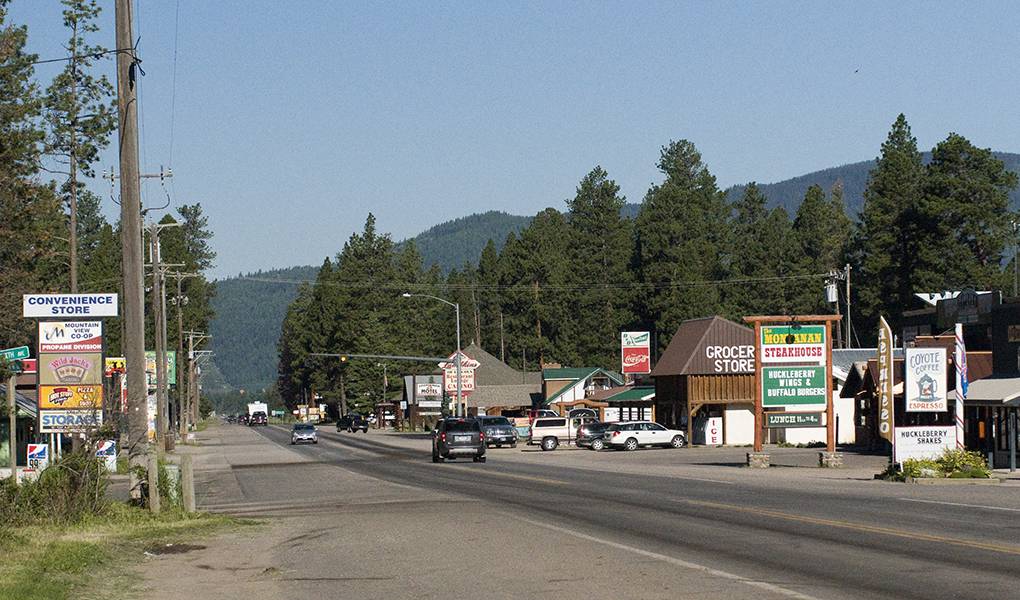
Browse the local shops
Experience the Lincoln Art & Music Festival
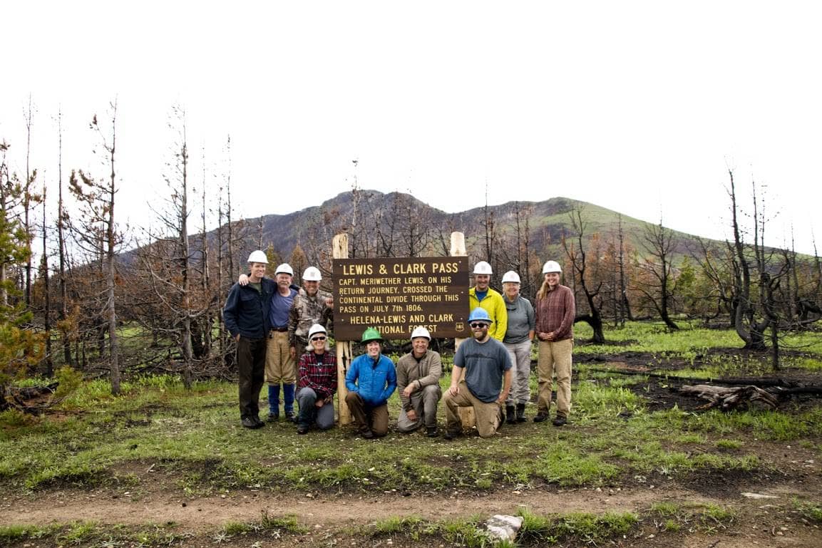
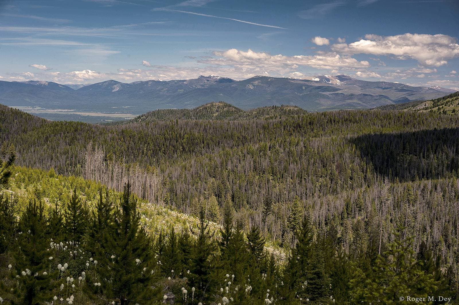
Lewis and Clark Pass via Alice Creek Trail
Difficulty: Easy
Length: 2.4 miles
Closest Town: Lincoln, MT
Directions: Directions from Lincoln, MT: Take MT-200 E/Main St for 10.2 miles. Turn left onto Alice Creek Rd and continue for 8.6 miles until you reach the trailhead. Unless full, the trailhead has parking and turn around space for trailers.
Maps:
USGS 7.5 quadrangle: Blow Out Mountain; USFS: HelenaLewis and Clark National Forest, Lincoln; CDTC Map Set: Maps 381 and 382, Section MT23.
For More Information:
Helena-Lewis and Clark National Forest, Lincoln Ranger District (406)-362-4265
I'm a thru-hiker! What do I need to know about Lincoln?
- wifi
- camping/ lodging
- showers
- food
- laundry
- camp supplies
- Grizzly Hardware
- 628 Main St, Lincoln
- MT 59639
- 406-362-4995
- US Post Office
- 237 Main St, Lincoln
- MT 59639
- (406) 362-4523
- Lewis & Clark Library
- 102 9th St, Lincoln
- MT 59639
- (406) 362-4300
- Hooper Park Campground
- 948 Main St, Lincoln
- MT 59639
- (406) 362-4550
- Three Bears Motel of Lincoln
- 203 Main St. MT Hwy 200, Lincoln
- MT 59639
- [email protected]
- The Wheel Inn Tavern
- 123 Main St., Lincoln
- MT 59639
- 406-362-9261
Submit a place
Is the thru-hiker section above missing a business or an amenity? If so, please let us know below!
Lincoln offers three easy access points to the CDT, each 20 miles or less from downtown.
From Stemple Pass
Stemple Pass Road, maintained year-round, offers direct access to the CDT east of Lincoln. The trailhead has a bathroom, picnic tables, fire rings, and informational kiosks. Overnight parking is permitted.
From Flescher Pass
Follow MT State Highway 279 east out of town. The trailhead has a bathroom, picnic tables, fire rings, and a large CDT sign at the pass. Overnight parking is permitted.
From Rogers Pass
Highway 200, also known as Lincoln’s Main Street, leads directly east to cross the CDT. Rogers Pass is about 18.5 miles from downtown Lincoln.
Alice Creek Trailhead
For the more intrepid hikers, Alice Creek provides the closest access to the Scapegoat and Bob Marshall wilderness areas. Visitors can even drive 1.5 miles of the CDT on a dirt road. The trailhead has a bathroom, picnic tables, fire rings, and informational kiosks. Overnight parking is permitted.


