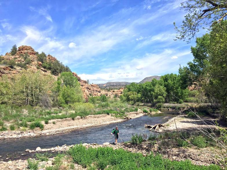
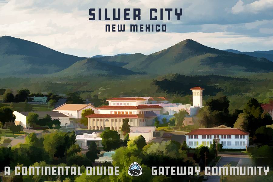
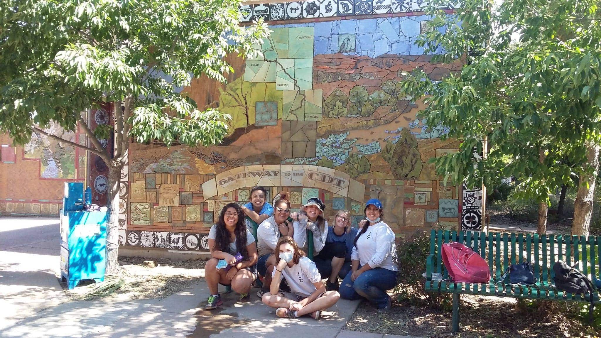
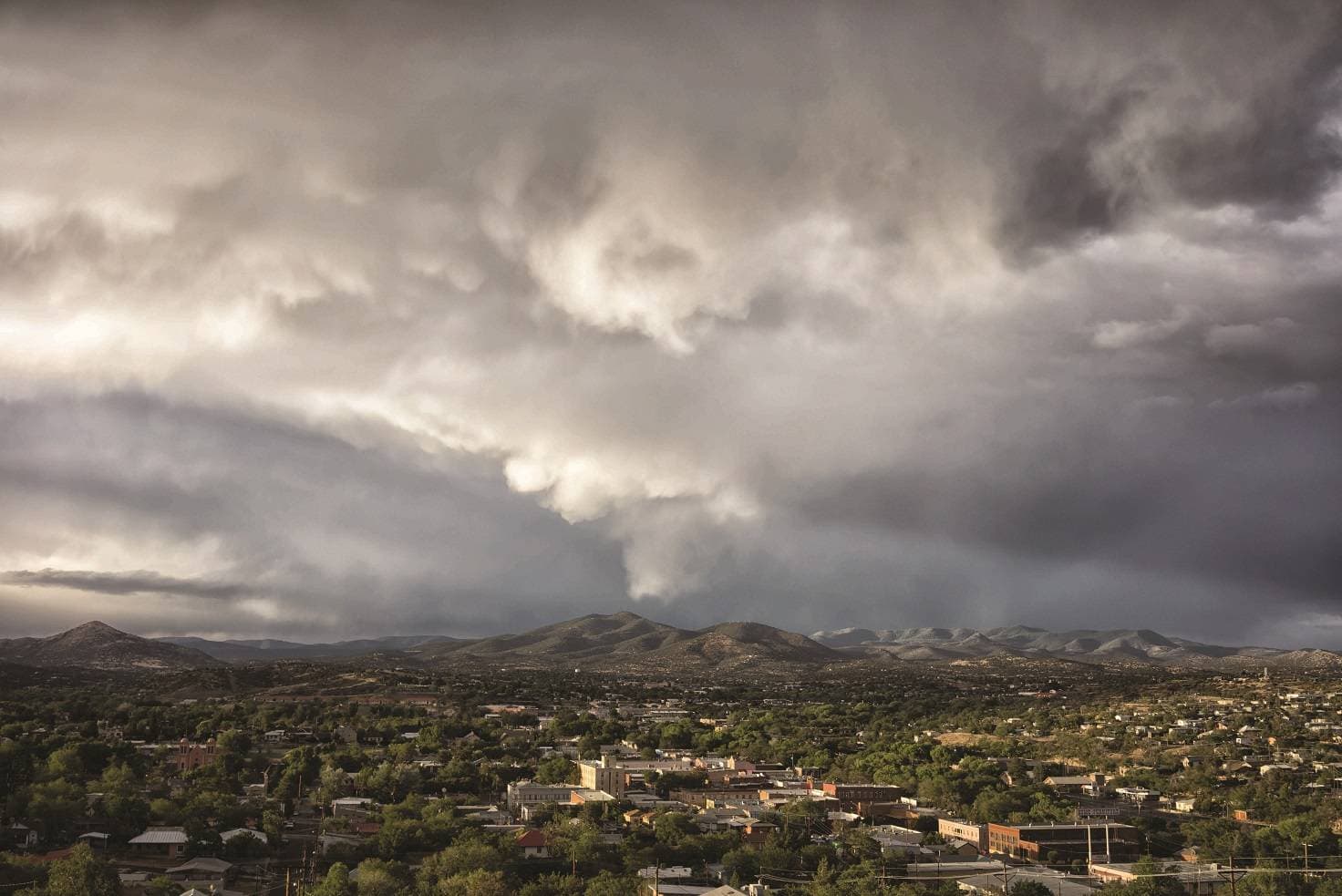
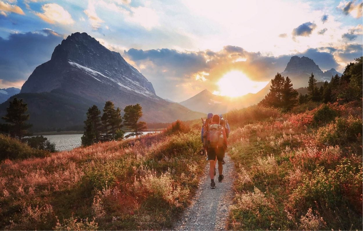
A vibrant community and a hub for the arts, Silver City is tucked in the high desert of southwest New Mexico on the ancestral lands of the Chiricahua Apache Nation. The Pinos Altos (Tall Pines) Range lies on the town’s northern outskirts, and the vast Gila Wilderness, sculpted by the Gila River, unfolds beyond. With the rugged Mogollon Range to the west, Black Range to the east, and the arroyos, plains, and isolated “sky island” ranges of the Chihuahuan desert to the south, this area is exceptionally ecologically diverse. The Gila Wilderness, the world’s first designated wilderness area, was established in 1924 at the behest of the iconic conservationist Aldo Leopold, who worked throughout the Gila National Forest.
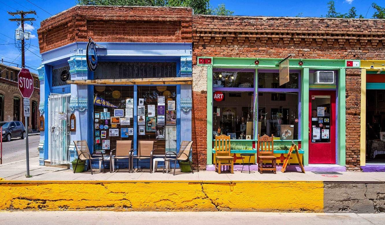
Though three copper mines still operate nearby, mining’s future in the region has become more tenuous. Silver City is reinvigorating itself as a destination for arts, culture, and the outdoors. The town’s Spanish origins and proximity to Mexico, along with the region’s significance to the Chiricahua Apache, provide rich cultural diversity, as well as ecological diversity. ts geographic location in the transition zone from desert to forest lends exceptional biodiversity. With a thriving arts community, diverse food scene, quaint downtown, and boundless outdoor recreation, Silver City has a little something for everyone.
Many thanks to the Silver City Public Library and Silver City Museum for their assistance in compiling this information.
The closest international airport to Silver City is El Paso (ELP), which is about 2.5 hours away via I-10. Albuquerque (ABQ) is roughly a 4 hour drive via NM-152 and I-25. The Grant County Airport (SVC) offers regular flights to Albuquerque, Pheonix, and Los Angeles.
Grant County Airport (SVC)
188 Airport Rd
Hurley, NM 88043
Phone: 575-313-2496
Serviced by Advanced Air
Uber/Lyft – Silver City
Greyhound/Flex Bus station – Lordsburg and Deming
Corre Caminos
Public Transportation around Silver City
Phone: 575-388-3180
Runs local routes as well as trips to Deming – call for more information and additional routes.
Rent a bicycle from Gila Hike & Bike
Ten Things to do in Silver City
Visit the Gila Cliff Dwellings
Visit the Catwalk
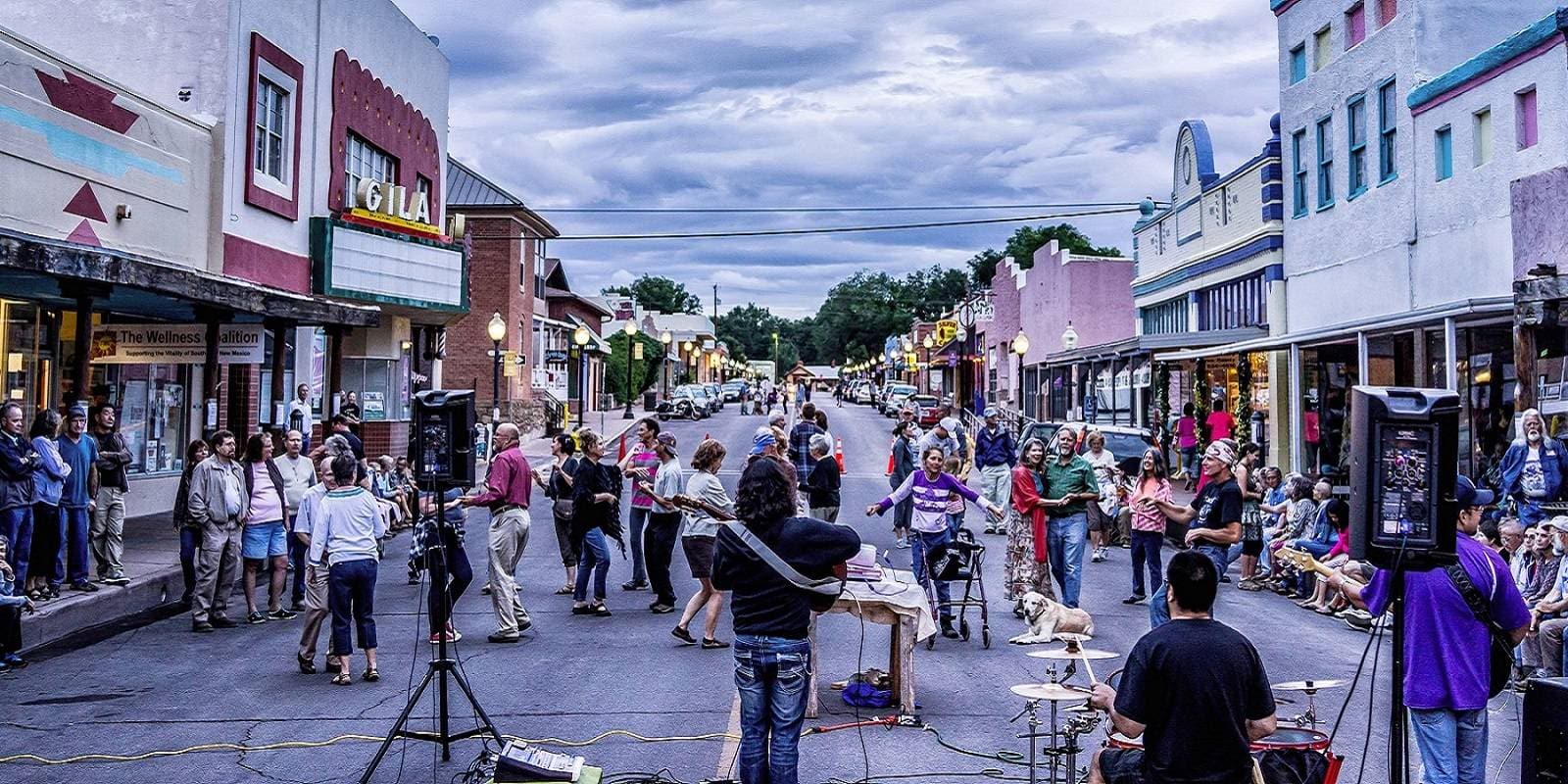
Take in a festival
Catch a movie at the Silco
Visit the Silver City Museum
Soak in the Gila Hot Springs
Visit the Future Forge
Explore the Gila National Forest
Discover City of Rocks
Visit an Art Gallery
Little Walnut Trail, Gila National Forest
Difficulty: Easy
Length: 3 miles one-way
Closest Town: Silver City
Directions: From the Visitors Center parking lot, turn north onto N. Hudson Street. Turn left onto US-180 on 14th Street. At the second stop light, turn right onto Little Walnut Road. Continue on Little Walnut Road for 5 miles. At the fork in the road, turn left, staying on Little Walnut Road. Continue for 1 mile and turn left when you come to Owens Road, staying on Little Walnut Road. Continue for one more mile. Little Walnut Road turns into North Fork Walnut Creek Road. There are parking options on either side of the road.
Maps:
USGS 7.5 quadrangle: Silver City; CDTC Mapset: Map 027, Section NM07.
For More Information:
Gila National Forest’s Silver City Ranger District: (575) 388-8201.
I'm a thru-hiker! What do I need to know about Silver City?
- wifi
- camping/ lodging
- showers
- food
- laundry
- camp supplies
- Silver City Post Office
- 500 N. Hudson St, Silver City
- NM 88061
- 575-538-2831
- Gila Hike and Bike
- 103 E. College Ave
- NM 88061
- 575-388-3222
- Morning Star Sports
- 809 N. Bullard St.
- NM 88061
- 575-388-3191
- Walmart
- 2501 Highway 180 E
- NM 88061
- 575-538-2222
- Albertsons
- 1956 Highway 180 E
- NM 88061
- 575-388-1909
- Silver City Public Library
- 515 W. College Ave.
- NM 88061
- 575-538-3672
- Murray Ryan Visitor Center
- 201 N Hudson St
- NM 88061
- Laundryland USA
- 407 N Hudson St
- NM 88061
- 575-538-2631
- 12th St. Laundry
- 121 W 12th St.
- NM 88061
- 575-388-1842
- Billy Casper Wellness Center
- 300 16th St.
- NM 88061
- 575-538-4844
- Continental Divide Park and Camp
- 4776 NM-15, Silver City
- NM 88061
- 575-519-4266
- Doc Campbell's Post
- 3796 NM-15
- NM 88049
- 575-536-9551
Submit a place
Is the thru-hiker section above missing a business or an amenity? If so, please let us know below!
Thanks To Our Silver City Business Members For Their Support:

South of Silver City
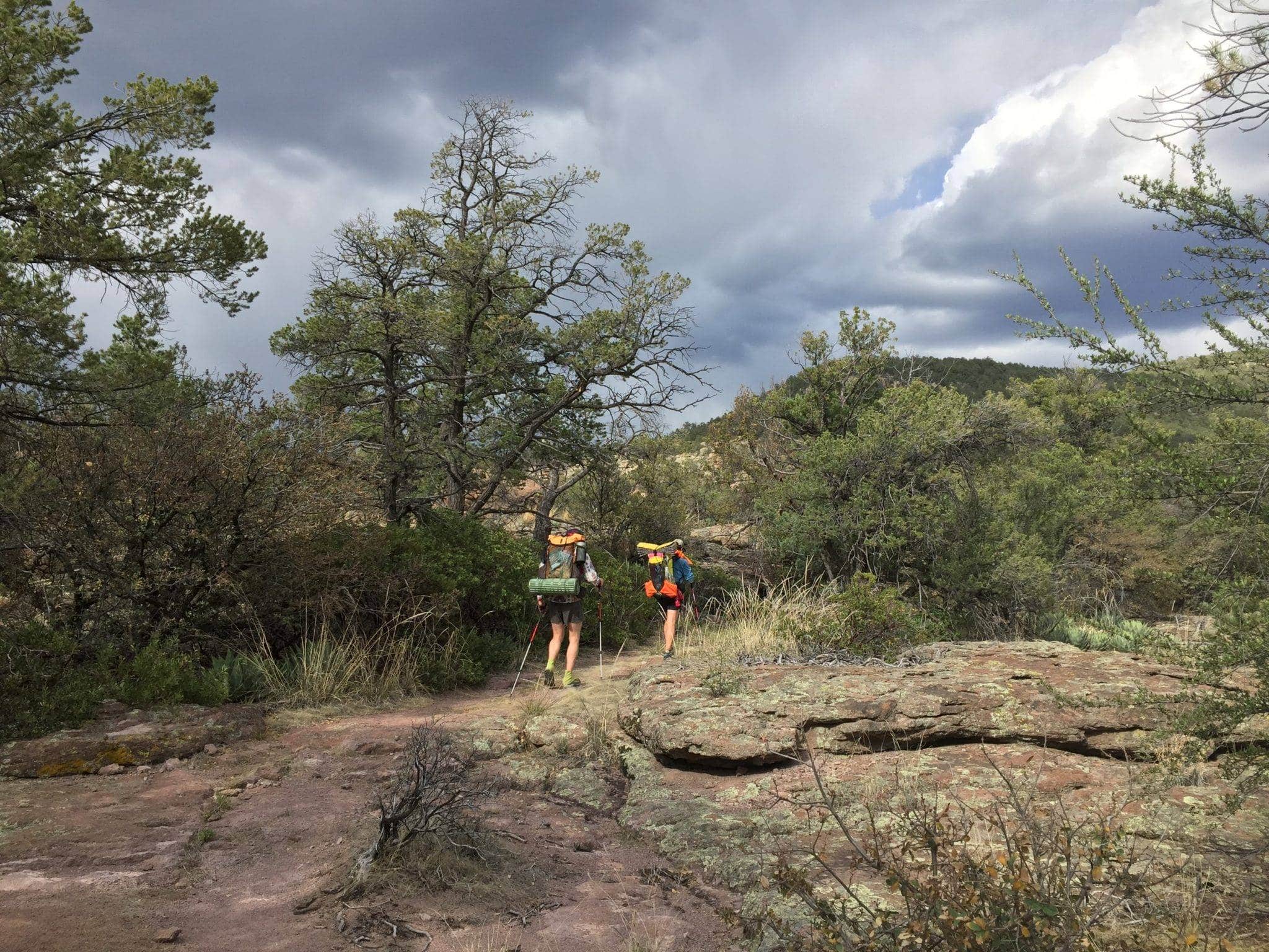
Head south on NM 90 for about 20 miles. A USDA Forest Service sign on your right will point you to a Trailhead on your right. This section of the CDT takes you to Jack’s Peak at 7,986 feet and Burro Peak at 8,035 feet.
Fantastic views of the area can be had on the way up and at the top of each summit! After Burro Peak at about 5 miles, the trail’s current route descends to Tyrone Road and connects back to NM-90, about 11 miles south of town.
North of Silver City
Access a rolling, wooded section of the CDT by taking Little Walnut Rd north of Silver City. Continue past the Gomez Peak Day Use area and the Little Walnut Picnic Area, remaining on FR 506. 1.8 miles after the road turns to dirt from pavement, you’ll find a parking area on the left side of the road. Traverse south for excellent views of Bear Mountain to the west and dip into the Walnut Creek drainage. Or, head north from the road, where you’ll be able to hike to views of the Our Lady of Guadalupe Benedictine Monastery, which abuts the Gila National Forest.
There are a lot of access points around the Silver City area, for the CDT and other trails, but they can sometimes be difficult to locate. Stop by a local outdoor shop to talk to someone who can help make sure you know your way before you head out for a day of hiking.


