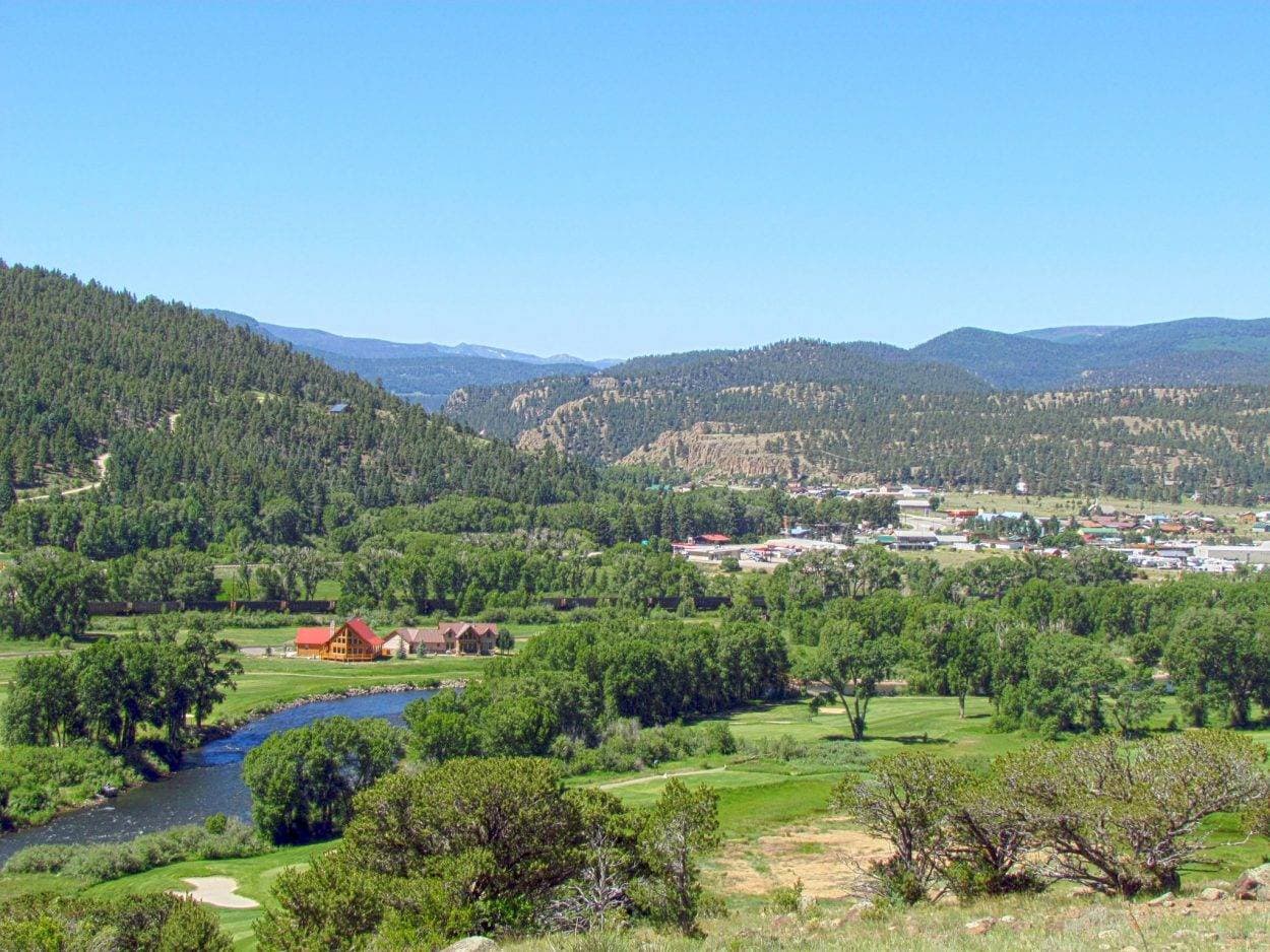
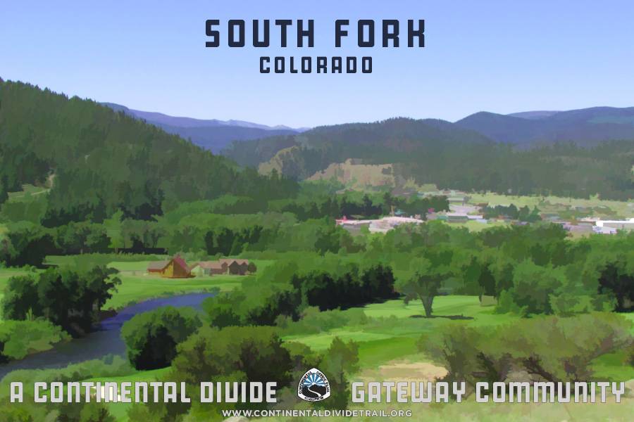
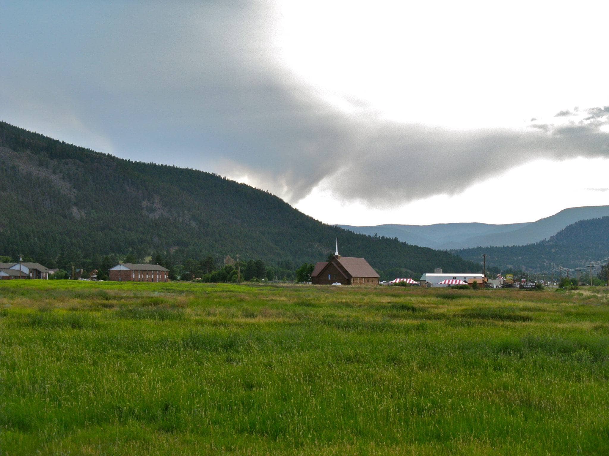
Located high in the San Luis Valley in southern Colorado and surrounded by the San Juan Mountains, South Fork sits along the confluence of the South Fork and the main stem of the Rio Grande. For most of its history, this area was part of the range of the nomadic Capote band of the Ute tribe, which also included Chama, New Mexico, to the south. European explorers first entered the valley in the 15th century, bringing with them disease that decimated the tribe. When gold and silver were discovered in the San Juans to the west and north, increasing numbers of settlers meant an increase in conflict between the Utes and settlers. In 1868, the tribe was forcibly moved to a reservation in western Colorado. After this, the history of the area around South Fork was shaped largely by transportation.
By 1874, the Upper San Luis Valley was a stopping point for a stagecoach line that ran from Missouri to Lake City, Colorado. It next served as a water stop for the steam trains traveling the Denver & Rio Grande Railroad, which shipped the many natural resources from the San Juan Territory to points across the Western US. In the early 1900s, the automobile inspired the creation of a highway to connect southern Colorado, and passed through South Fork on its route from Alamosa west to Pagosa Springs and on to Durango.
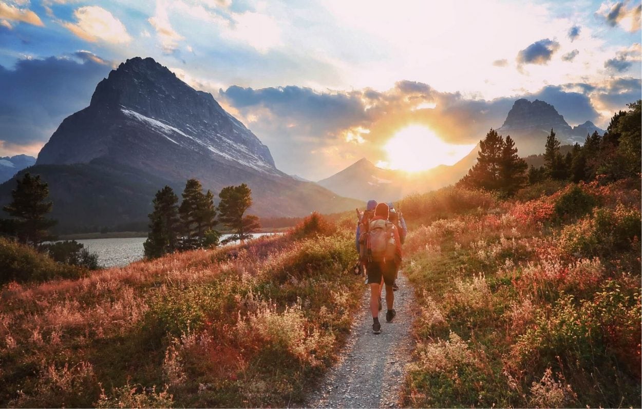
South Fork began catering to a different type of traveler in the 1930s when the State of Colorado created a program to promote skiing. Southwest of town and just east of Wolf Creek Pass was a prime location for a ski area, just north of the highway. Wolf Creek Ski Area, known for having the highest annual snowfall in the state of Colorado, was established in 1935 and has been a draw for snow enthusiasts ever since. Still a quiet stop for travelers and tourists today, just as in the late 1800s, South Fork is Colorado’s “newest” town, incorporated in 1992. If you’re looking to “get away from it all,” this is a relaxing gateway to experience southern Colorado’s wild landscapes up close.
Information courtesy of the South Fork Chamber of Commerce and the South Fork Visitor Center.
The closest reliable airport is Durango-La Plata County Airport (DRO), which is about 2 hours from South Fork west on US-160. The next major airport to South Fork is Colorado Springs Airport (COS), which is about 3.5 hours away via I-25 and US-160. The San Luis Valley Regional Airport is about an hour away from town via US-160 East. This airport offers a direct flight to Denver.
The Pronghorn Shuttle runs on Thursday weekly from Creede to South Fork, then Del Norte, Monte Vista, and Alamosa in the morning and back in the evenings. For more information go here.
Learn some history at the Rio Grande County Museum
Take a drive on the Silver Thread Byway
Discover a waterfall
Catch a show at the Creede Repertory Theatre
Go on the Bachelor Loop Tour
Go on a rafting adventure
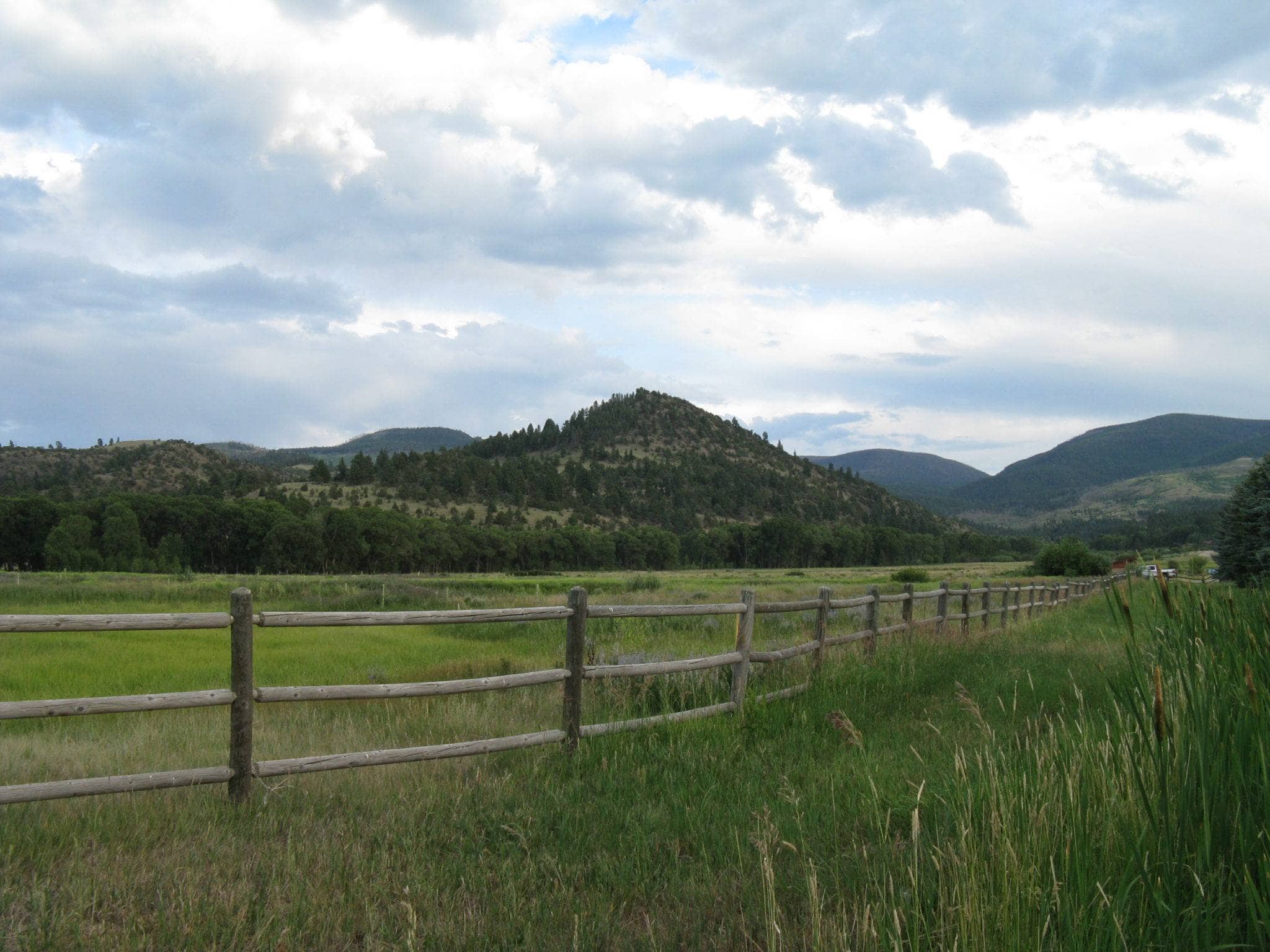
Visit the Rio Grande National Forest
Have some fun with winter sports
Get to know the area at the Underground Mining Museum
Hit a few rounds at the Rio Grande Club
Wolf Creek Pass to Rock Lake, Rio Grande National Forest
Difficulty: Easy
Length: 8.8 miles
Closest Town: Pagosa Springs and South Fork
Directions: Take US-160 north from Pagosa Springs for 23 miles to Wolf Creek Pass, or take US-160 south from South Fork for 20 miles. Note that US-160 is steep (6.8 percent grade) and often icy or snowy. There is a large covered kiosk at Wolf Creek Pass describing the history of the Divide and the CDT. Just east of the pass, on the north side of the road, there is a gravel road, accessible to two-wheel-drive cars, that will take you to the Lobo Overlook. There is ample parking near the microwave tower. From the Lobo Overlook, walk west of the microwave tower to find the trailhead for the spur trail to the CDT heading north. The trail is well worn and easy to follow. Generally head west and slightly downhill until the trail meets the CDT, which is marked by a post, 0.25 miles later. Turn right onto the CDT and head north to continue on your hike!
Maps:
USGS 7.5 Quadrangle: Wolf Creek Pass; Trails Illustrated #140; CDTC Map Set: Maps 126 and 127, Section CO04.
For More Information:
Rio Grande National Forest, Divide Ranger District: (719)-658-2556.
I'm a thru-hiker! What do I need to know about South Fork?
- wifi
- camping/ lodging
- showers
- food
- laundry
- camp supplies
- South Fork Post Office
- 130 W Frontage Rd, South Fork
- CO 81154
- 719-873-5611
- Wolf Creek Ski Lodge
- 31042 US-160, South Fork
- CO 81154
- Rainbow Sporting Goods
- 30359 US-160, South Fork
- CO 81154
- 719-873-5545
- 8200 Mountain Sports
- 30923 US-160, South Fork
- CO 81154
- 719-873-1977
- Carnegie Library, South Fork Branch
- 31 Mall St, South Fork
- CO 81154
- 719-873-5079
- South Fork Visitor Center
- 28 Silver Thread Ln, South Fork
- CO 81154
- 719-873-5512
- Chinook Cabins & RV Park
- 29668 W. Highway 160, South Fork
- CO 81154
- (719) 873-1707
- Aspen Ridge RV Park
- 700 CO-149, South Fork
- CO 81154
- 719-873-2248
- McB's Laundromat
- 20 Four Seasons Dr, South Fork
- CO 81154
- 719-580-3512
- Doc's Outdoor Sports
- 31101 W Hwy 160, South Fork,
- CO 81154
- 719-873-5151
- Grandview Cabins and RV Resort
- 613 CO-149
- South Fork, CO 81154
- 719-873-5541
Submit a place
Is the thru-hiker section above missing a business or an amenity? If so, please let us know below!
From Wolf Creek Pass
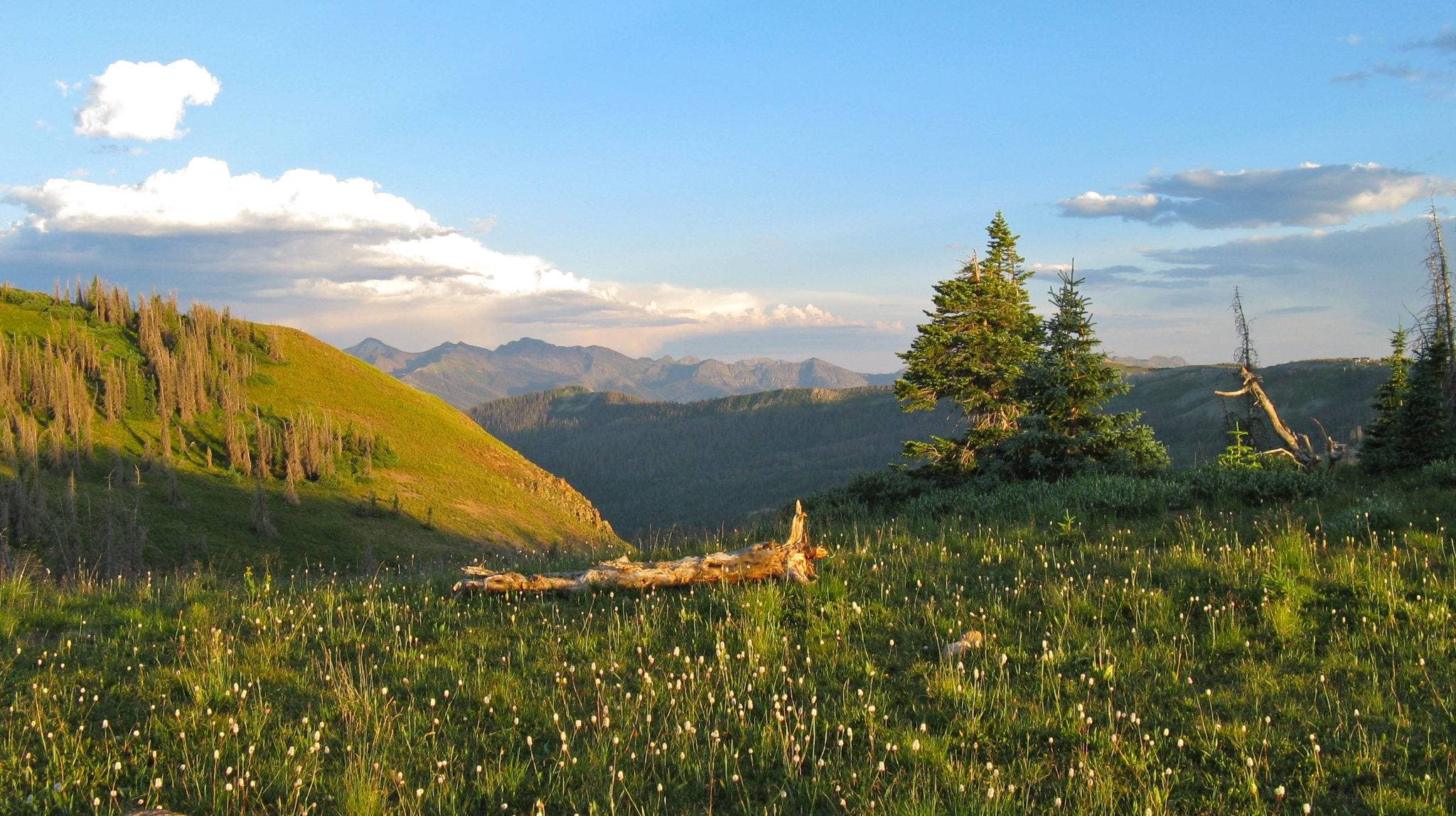
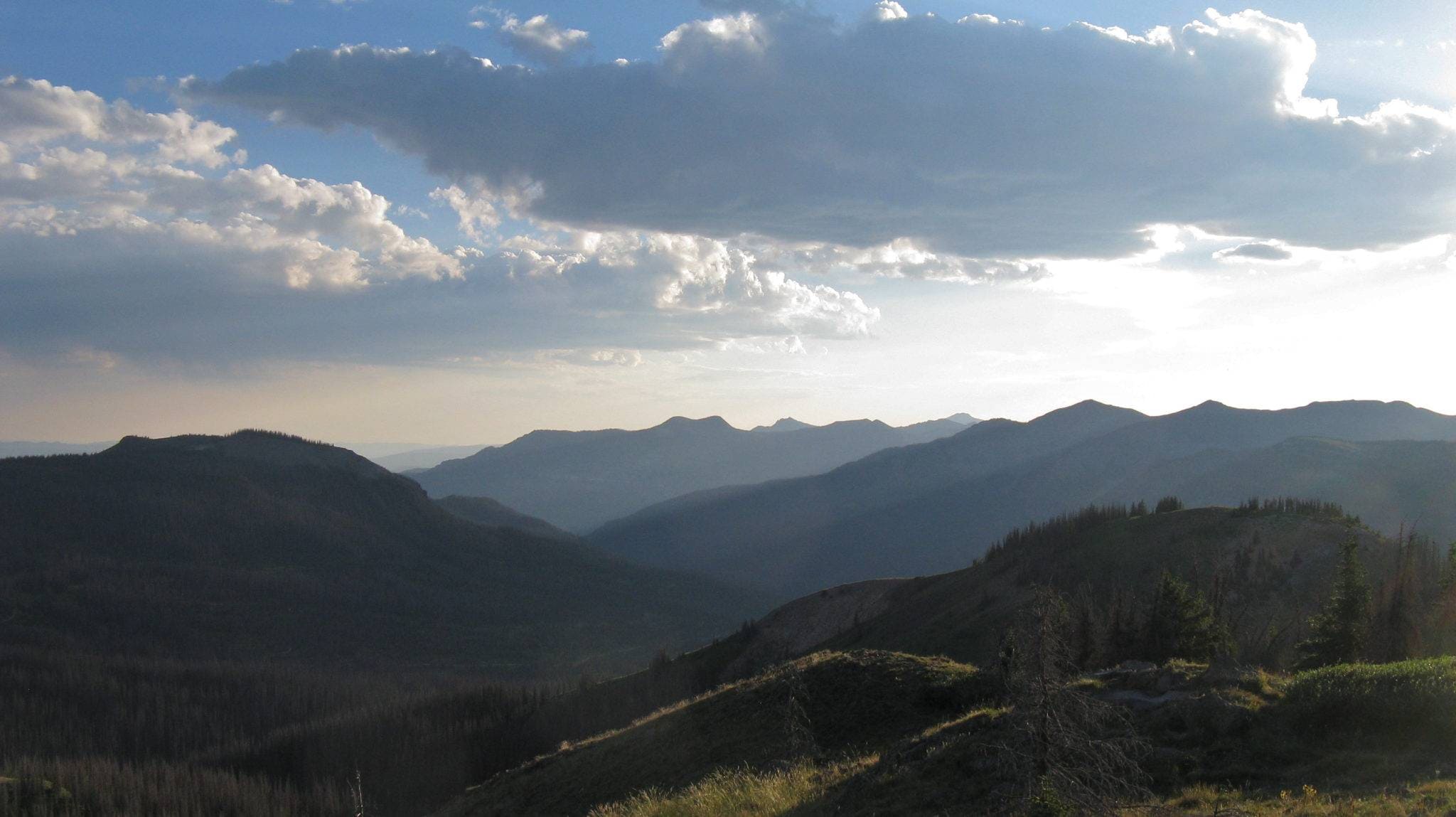
Highway 160 makes some spectacular alpine sections of the CDT easily accessible. At Wolf Creek Pass, 19 miles south of South Fork, park on the side of the highway near the large Continental Divide kiosk. On the south side of the highway, the trail takes off behind this kiosk, heading southeast across a small bridge visible from the highway. You’ll then climb for about a mile through cool spruce and fir forest on the backside of Wolf Creek Ski Area until you reach cleared ski slopes and an open, grassy ridge. About 2.5 miles from the highway, Alberta Peak’s rocky summit is just a short scramble from the CDT on the peak’s southwest side. At just under 12,000′, enjoy fantastic views of the surrounding San Juan Mountain’s rugged terrain and Alberta Lake below, then return to the trailhead or continue south. Note that Wolf Creek Pass is at nearly 11,000’ above sea level, and the trail can be snowy well into June. Be conscious of the effects of altitude, particularly if coming from a low-elevation area.
From Elwood Pass
From about mid-June to early fall, Elwood Pass (11,875’) is a popular and scenic access point high in the San Juans. From South Fork, travel southwest on Highway 160 for about 7 miles. Take a left on Park Creek Rd/Forest Road 380. Follow the dirt road for about 18 miles to the Forest Service’s Elwood Cabin. This is ¼ mile from the CDT at Elwood Pass – continue to park at the signed pass or stop here. Take the CDT south from the pass, winding through timber and alpine vegetation. In just less than 2 miles, you’ll arrive at a small pond. A little further along, a marked trail splits off and descends about 1000’ and 3 miles to the west to Crater Lake, a picturesque spot known for good fishing. Alternatively, continue straight along the CDT for more high alpine scenery. Keep an eye on the weather: much of this terrain is high, exposed ridgeline – not the place to be in a thunderstorm!
Many thanks to South Fork’s outdoor recreation group, the Silverthreaders, for their assistance and suggestions.


