
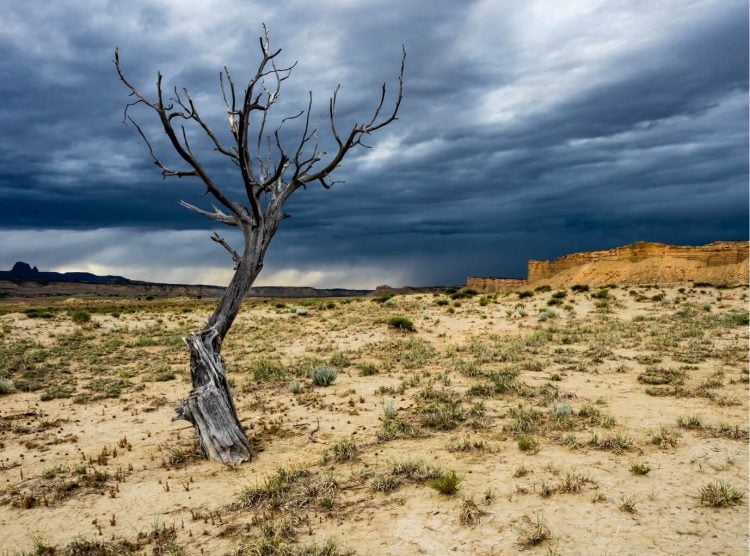
The CDT abounds with great opportunities for day and section treks and activities!! Whether you have a few days to spend or just an afternoon, here’s what you need to know to enjoy your adventure along the Divide.
Find a CDT HikeCDT Hiking Guides
Check out our Day and Overnight Guides for lists of more of our favorite hikes on the CDT in Colorado, Wyoming, Montana, Idaho, and New Mexico.
CDT Hiking GuidesJoin us at an Event
CDT communities host community events and hikes throughout the year.
Upcoming EventsCDT Map Set
The Continental Divide Trail Coalition CDT Map Set represents the entirety of the official Continental Divide National Scenic Trail route at a scale of 1 inch = 1/2 mile. Each page displays topographic information, an elevation chart, water sources, and waypoint data. The maps are available for download as state or section bundles in three distinct file types to serve travelers with a variety of navigation technology and planning trips of any distance on the CDT.
While we’ve worked hard to provide the most comprehensive and up-to-date information in these maps, the user issolely responsible for their own safety and planning while on the CDT. CDTC, the U.S. Forest Service, Atlas Guides, Hiiker, and any other parties are not responsible for any errors, omissions, or inaccuracies with the maps or data. All information is subject to change. Please read all product information included with map downloads and refer to multiple sources, including local land managers, when preparing to travel on the CDT.
The CDT Map Set is a free resource for the public thanks to generous donations and support from the CDT community. If you find this resource useful, consider donating at checkout to support the continued maintenance and production of these maps.
Geospatial PDFs
For high-quality prints and interactive digital use. Vector-based PDFs with georeferencing information included.
View In Our Store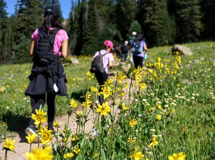
Reduced Size PDFs
For variable internet connections and easy desktop printing. Image-based PDFs without georeferencing.
View in our store
Avenza Map Download
For offline smartphone or tablet use with the Avenza Maps app. Links to download via the Avenza Map store.
View in our storeThe CDT is a world-class destination for year-round recreation, enjoying it comes with the inherent risks of the backcountry. We want to remind all trail users that you are responsible for your own safety, and your knowledge and equipment are your own first line of defense in an emergency situation. In the case of an emergency on the Continental Divide Trail, always call 911 or a local emergency number before reporting the incident to CDTC.
Being prepared with knowledge, equipment, and planning can help mitigate many of the risks associated with hiking and camping along the CDT. We suggest the following general safety rules:
1. Leave an itinerary with a trusted person at home. For thruhikers, having a plan in place for your support person when you miss a check-in is important. However, please note that some areas along the CDT are very remote and may not have cellphone service, including common alternates to the official trail. Using satellite beacons or similar will have greater reliability of messaging, if you intend to check-in directly from trail.
2. Trust your intuition. If a particular place or a person gives you an off feeling, trust your gut and get out of the situation as soon as possible. It’s better to trust your judgment and stay safe.
3. Camp away from roads, and be aware that anywhere people congregate, like campgrounds, may have greater risk of human-based incidents.
Always CALL 911 if possible during an emergency situation. If you do not have cell phone service, attempt to call 911 anyway; carriers outside of your phone plan are required to place emergency calls if they are available. A Spot device or another type of satellite messenger may also provide another communication option, although it does not guarantee your safety.
If you see something, say something. We’ve developed an incident report form that can be used to alert us of emergency situations after you’ve reported them to police, report all trail emergencies, incidents, suspicious activities, resource damage, or information on missing or suspicious persons on the Continental Divide Trail to local rangers or law enforcement officers as soon as possible, then use this form to report to and document with the Continental Divide Trail Coalition (CDTC). This form can be completed electronically and e-mailed as an attachment to [email protected], or printed, completed, and then mailed to: Incidents, CDTC, 710 10th St., Ste. 200, Golden, CO 80401.
Incident report form Blog post on safetyWant to learn how best to minimize your impact outdoors? When you follow the 7 Principles of Leave No Trace, you’ll help make sure the trail stays healthy for years to come.
lnt.org Blog post on LNT help

