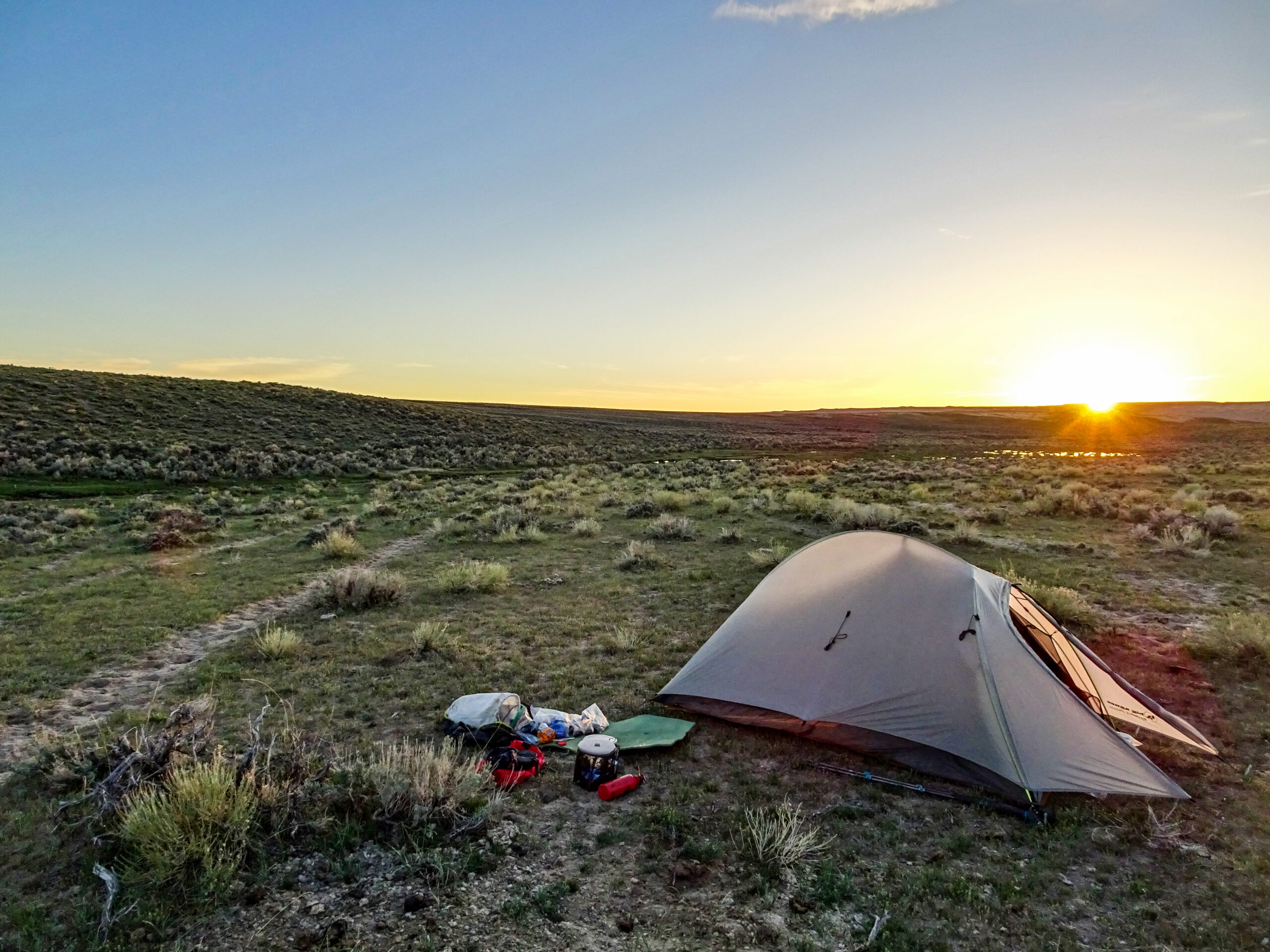
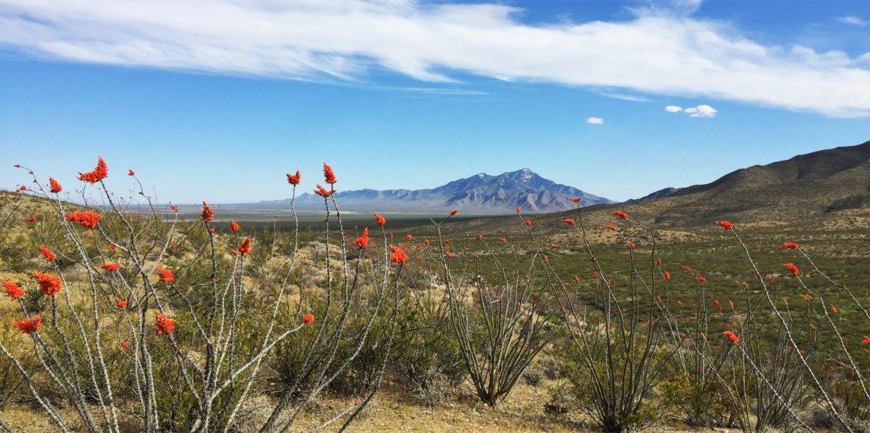
Whether you’re on a day hike or a big adventure, the Continental Divide National Scenic Trail (CDT) is for all. Explore the trail on our website before you head out with the resources below!
Quick links:
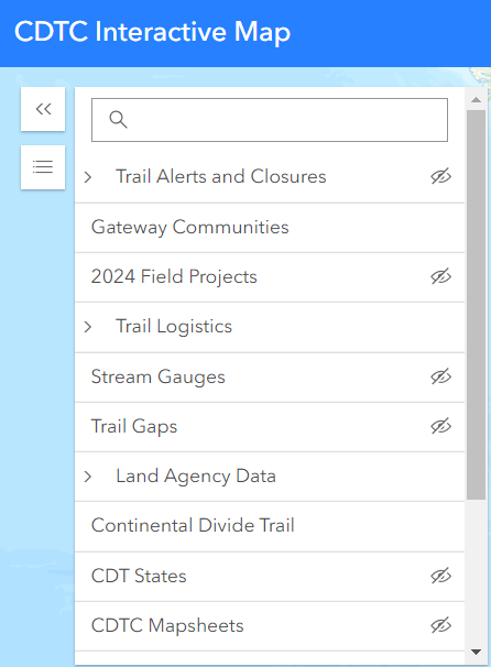
CDT Interactive Map
Explore the trail by using our interactive map!
The CDT At Your Fingertips
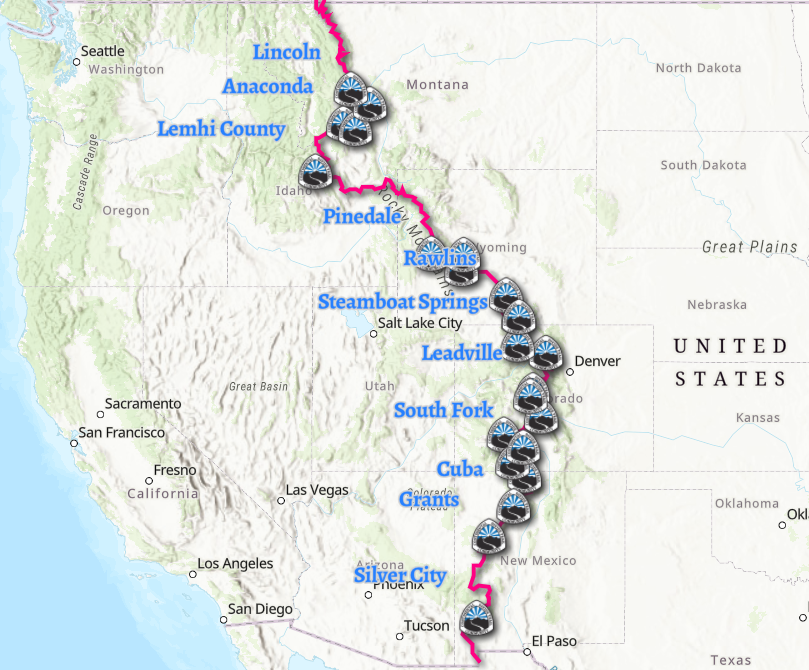
CDT Map Set
The CDT Map Set is a free resource for the public thanks to generous donations and support from the CDT community. If you find this resource useful, consider donating at checkout to support the continued maintenance and production of these maps.
map downloadsThe CDTC has partnered with FarOut Guides, the official App of the CDT! CDTC works with FarOut to provide users with up-to-date notifications on trail closures and alerts.
Other Map Resources
Bear Creek Survey Maps – Developed by the former CDT organization and Jerry Brown of Bear Creek Survey, these map guides reflect the most current line data for the CDNST available. These guides will give you the most accurate way point data for the “official” CDNST route, including water sources, critical intersections and general know where you are or need to be information. The data contained in the CDT app is the same as what you will find on the Bear Creek Survey Maps, we highly recommend you combine these with Yogi’s CDT Handbook and Planning guides for the best adventure possible on the CDNST!
The map set by Johnathan Ley is free, popular, and printable at home.


