Difficulty: Moderate to Difficult
Length: 7 miles
Closest Town: Cuba
Directions: Drive 0.9 miles south to NM-197. Turn right onto NM-197. Proceed 4.3 miles to the dirt road on the left. Park or continue down the dirt road past sandstone bluffs to the large Chijuilla Wash.
Maps:
USGS 7.5 quadrangles: Mesa Portales and Headcut Reservoir; CDT Map Set: Map 097 and 098, Section NM24.
For More Information:
BLM, Rio Puerco Field Office: (505)-761-8700; Cuba Gateway Community webpage.
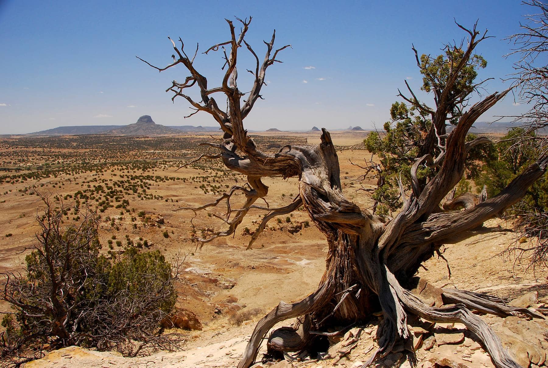
Mesa Portales NM, by Ryan Choi
Explore the sandstone cliffs and piñon-juniper woodlands of Mesa Portales while taking in panoramic views of nearby mesas, Cabezon Peak, and the Nacimiento and Sandia Mountains. Begin by following the CDT along a dirt roadway for approximately 1.5 miles before crossing the wide Chijuilla Wash. From here, posts and cairns mark the way through a wide arroyo to the top of Mesa Portales. The CDT continues to follow the mesa rim for another 2 miles. The trail continues southbound, but this is a good turn around spot. Mountain bikes and dogs are allowed on this section of trail. Shade is scarce, so be sure to pack plenty of water.
Photo by Ryan Choi


