Difficulty: Easy – Moderate
Length: 2 – 11.3 miles
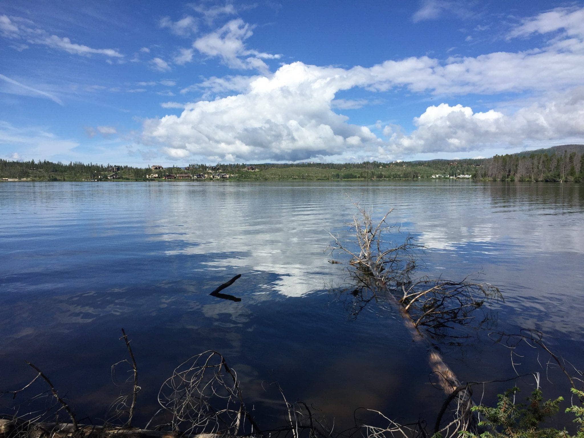
Closest Town: Grand Lake
Directions: The following directions are from Grand Lake. CDT Trailhead on Shoreline Way: From the center of town, take Cairns St south for 0.4 miles. Turn right onto Lakeside Dr before turning left onto Jerico Rd after 0.1 miles. Continue for 0.4 miles and take a slight left onto Shoreline Way. The trailhead is on the right after 270 ft. Monarch Lake Trailhead: Follow US-34 W south for 9.1 miles. Turn left onto CO-6 and continue for 9.6 miles. The trailhead is on the right at the end of the road.
Maps:
USGS 7.5 Quadrangles: Monarch Lake, Strawberry Lake, and Shadow Mountain Lake; CDTC Map Set: Map 190, 191, and 192, Sections CO35 and CO36.
For More Information:
Arapaho Roosevelt National Forest, Sulphur Ranger District: (970)-887.
This hike can be a point to point or an out-and-back depending on what distance you would like to hike. The trail has a gradual incline as it winds along the lakes for the first 4 miles. Then, it climbs over 700 ft in the next 2 miles and descends back down to the shoreline before ending with the last 1.5 miles on the road to Monarch Lake Trailhead.
Photo by Johnny Carr


