
CDT Map Set
Version 3.0 is available! Download for updated 2020 CDT alignment, and more.
The Continental Divide Trail Coalition CDT Map Set represents the entirety of the official Continental Divide National Scenic Trail route at a scale of 1 inch = 1/2 mile. Each page displays topographic information, an elevation chart, water sources, and waypoint data. The maps are available for download as state or section bundles in three distinct file types to serve travelers with a variety of navigation technology and planning trips of any distance on the CDT.
While we’ve worked hard to provide the most comprehensive and up-to-date information in these maps, the user issolely responsible for their own safety and planning while on the CDT. CDTC, the U.S. Forest Service, Atlas Guides, Hiiker, and any other parties are not responsible for any errors, omissions, or inaccuracies with the maps or data. All information is subject to change. Please read all product information included with map downloads and refer to multiple sources, including local land managers, when preparing to travel on the CDT.
The CDT Map Set is a free resource for the public thanks to generous donations and support from the CDT community. If you find this resource useful, consider donating at checkout to support the continued maintenance and production of these maps.

Geospatial PDFs
For high-quality prints and interactive digital use. Vector-based PDFs with georeferencing information included.
View In Our Store
Reduced Size PDFs
For variable internet connections and easy desktop printing. Image-based PDFs without georeferencing.
View in our store
App Map Downloads
For offline smartphone or tablet use with the Avenza Maps app. Links to download via the Avenza Map store.
View in our storeOther Map Resources
Bear Creek Survey Maps – Developed by the former CDT organization and Jerry Brown of Bear Creek Survey, these map guides reflect the most current line data for the CDNST available. These guides will give you the most accurate way point data for the “official” CDNST route, including water sources, critical intersections and general know where you are or need to be information. The data contained in the CDT app is the same as what you will find on the Bear Creek Survey Maps, we highly recommend you combine these with Yogi’s CDT Handbook and Planning guides for the best adventure possible on the CDNST!
The map set by Johnathan Ley is free, popular, and printable at home.

CDTC works with FarOut to provide updates on trail closures, fire activity, and more.
The CDT Planning Guide is a one-stop resource for starting to plan a long-distance trip along the CDT. From which direction to travel, navigation and safety resources, and a comprehensive resupply chart, this guide provides a solid foundation for planning a CDT trip.
CDT Planning Guide – Digital Version
Produced by CDTC, the planning guide is available for free – we only ask for your contact information at checkout. We’ll send you updates about CDTC (no junk, we promise!) and you may opt out at any time.
Learn MoreCDT Planning Guide – Print Version
Click below to purchase the physical printed version of the CDTC planning guide. Your purchase directly helps support the CDTC!
Learn more
The CDT abounds with great opportunities for day and section treks and activities!! Whether you have a few days to spend or just an afternoon, here’s what you need to know to enjoy your adventure along the Divide.
Water report SNOTEL info Closures and Notices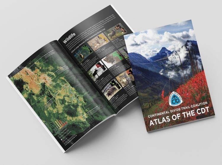
Purchase the Atlas of the CDT in Hard Copy
View NowCDTC Official List of 3,000 milers
The Continental Divide Trail Coalition (CDTC) recognizes anyone who reports completion of the entire Continental Divide National Scenic Trail.
View Official List of 3,000 Milers

