
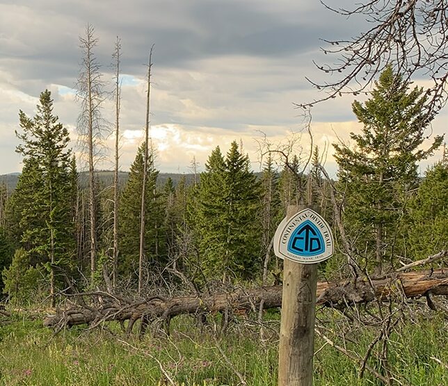
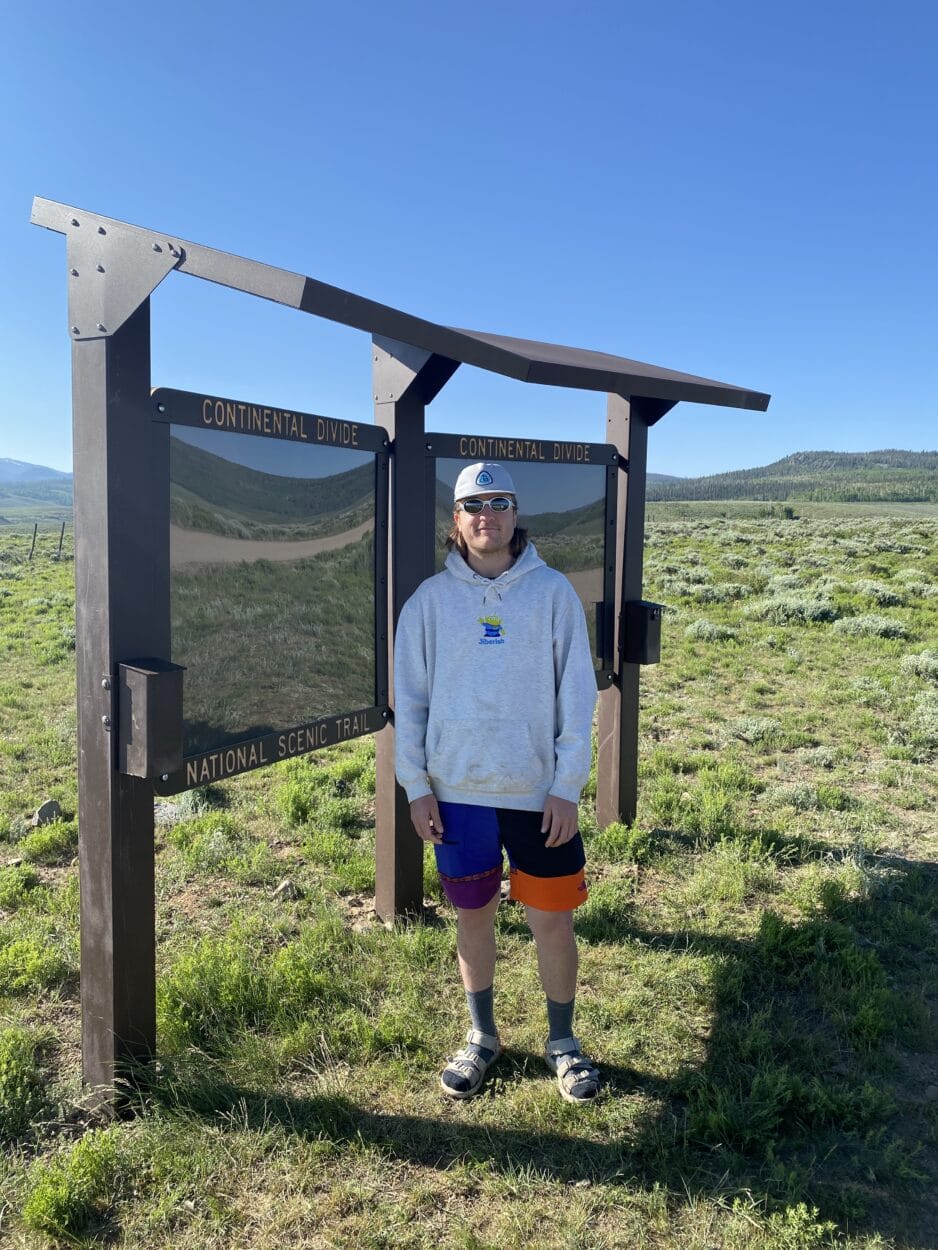
What do you mean the CDT isn’t complete?
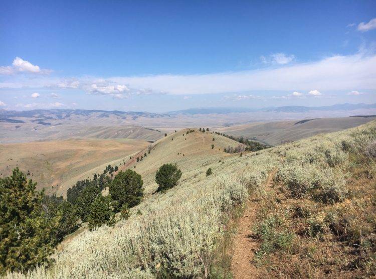
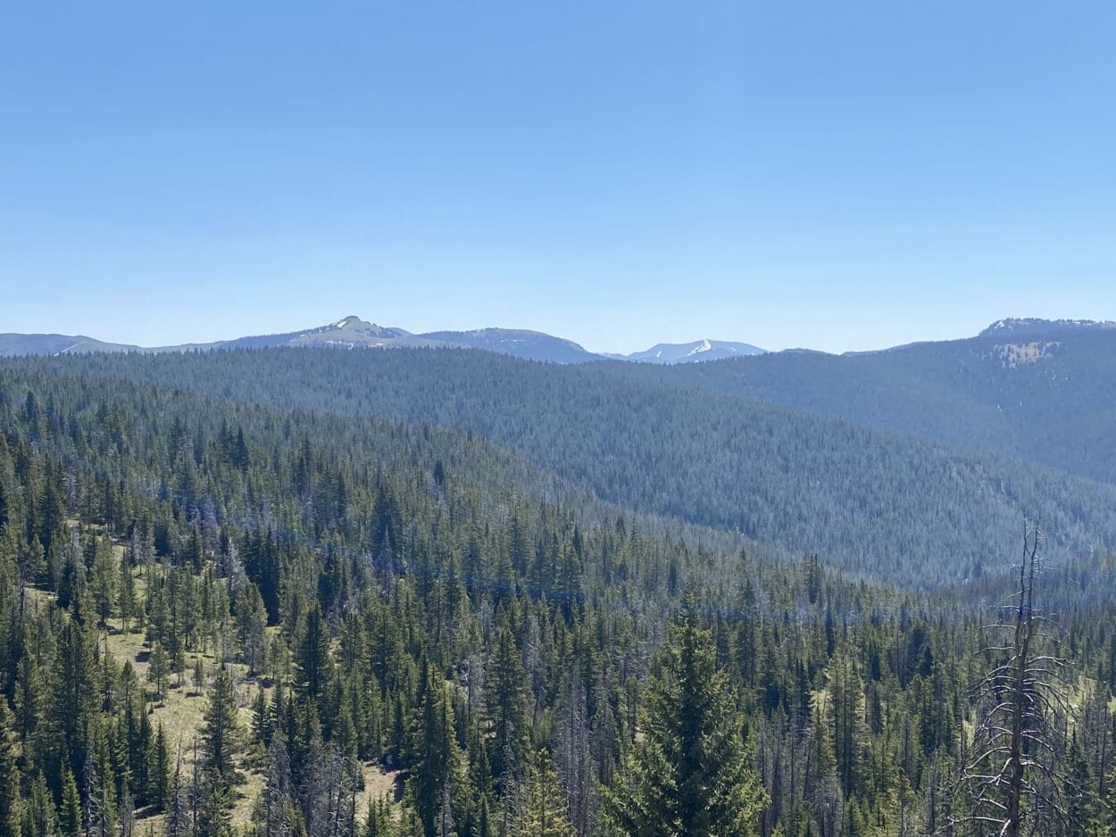
Although thousands of people enjoy the CDT every year, it is still not complete. Approximately 5% of the trail is not located on protected, public lands; 23% is open to motorized use; and only 69% is on the optimal single-track trail along the most scenic route possible.
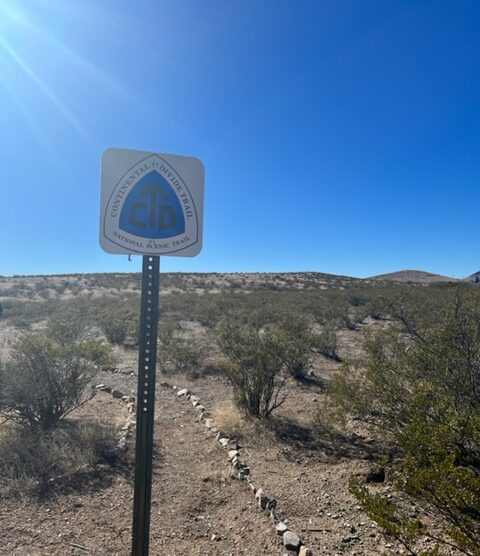
To complete a continuous path between the US borders with Mexico and Canada, gap routes have been identified. Gap routes represent informal connections between protected CDT tread. These routes typically require travelers to use local roads and busy highways. These routes can have safety concerns, lead to user conflict, and do not meet the CDT experience.
learn about the trail gaps completing the CDTWhat is considered a gap in the trail?
CDTC’s Trail and Lands Conservation Program is working on closing these gaps. Following the Optimal Location Review process, working groups have been formed to find solutions for completing the CDT in Mangas Valley, Pie Town, El Malpais, Cuba, and Muddy Pass.
Notable minor gaps are FR236 north of Mt. Taylor, Cochetopa Hills in southern Colorado, and the checkerboarded lands north and south of Rawlins, WY. CDTC is working with partners: Cibola National Forest, Colorado Trail Foundation, and BLM Rawlins Field Office to move these segments off of motorized routes and onto scenic, single-track trail.
Major Gap: A gap route that follows roads through unprotected lands such as private lands. Approximately 165 miles are located in major gaps (see map).
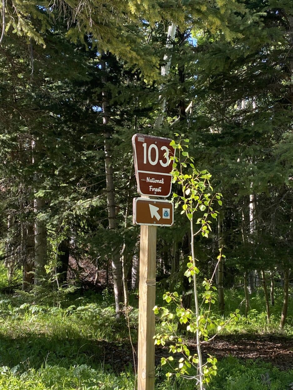
Minor Gap: A gap route that follows motorized roads through public lands such as a Forest Service or BLM road. (insert mileage of minor gaps/motorized sections from SOTT statistics)
Idaho Trail Gaps
Montana Trail Gaps
Help Complete the Continental Divide Trail
Support through volunteer trail maintenance, donations, advocating, and spreading the love of the trail all help complete the CDT.
donateFind out more about CDTC’s gap completion efforts
Challenges for completing the CDT through major gaps include private lands and sensitive wildlife habitat. Acquisition of easements or land for completing the Trail may require a long or uncertain wait. The collaboration between CDTC, working groups, and partners continues to move closer to completing the CDT!
Accomplishments and tools that move us closer to completion
- Permanent authorization of the Land and Water Conservation Fund
- Great American Outdoors Act
- Dingell Act Priority Public Access Program
- Creation of National Scenic Trail budget line item for the Bureau of Land Management
- Inventory and Monitoring for National Scenic and Historic Trails
- Fix CRUS
New Mexico – El Malpais Trail Gap
Overview
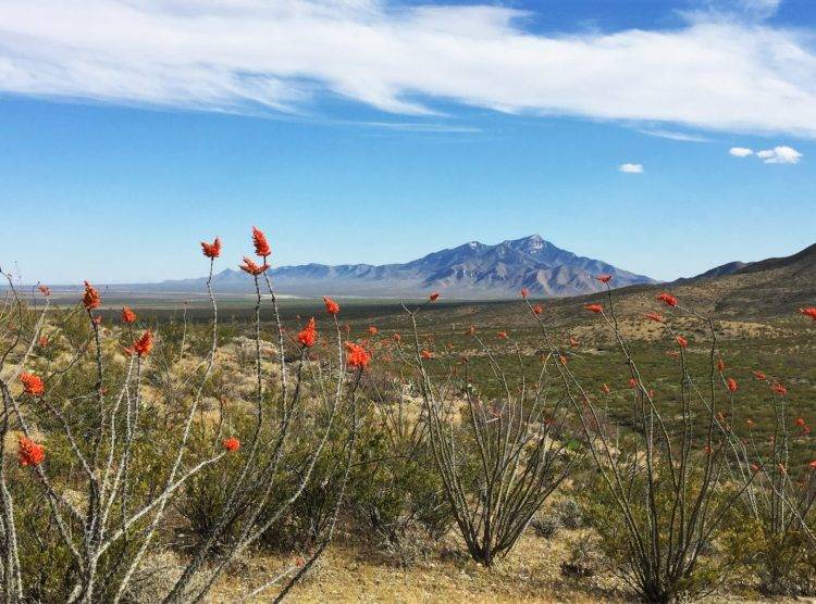
South of Grants, a CDT Gateway Community, the El Malpais section of the CDT passes through El Malpais National Monument (NPS) and El Malpais National Conservation Area (BLM). These are stolen lands of the Zuni and Acoma people. The existing CDT through this section follows the physical Continental Divide through the Chain of Craters and Wilderness areas for 31 miles.. The Trail also follows the Zuni-Acoma trail (7.5 miles), a route that has connected these communities for at least a thousand years. More about the Zuni-Acoma Trail
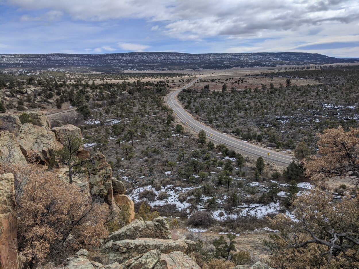
The El Malpais gap is part of a larger trail “gap” between Pie Town and Grants, NM. The Pie Town to Grants gap is a total of 83 miles. The El Malpais gap addresses approximately 36 miles of motorized dirt and paved roads through unprotected lands. These roads include high traffic and high-speed roads such as highways NM117 and NM53. The working group is in the process of scouting routes and working with adjacent landowners to complete the CDT in El Malpais.
A popular alternative for long distance users is Sand Canyon, NM117, Narrows Rim trail, and La Ventana arch. However, this unofficial route has caused impacts to sensitive resources and erosion from user created trails. Long term these impacts and alternative route may be addressed as a side and connecting trail to the CDT, making an El Malpais loop.
Partners and stakeholders
Bureau of Land Management – Rio Puerco Field Office , El Malpais National Conservation Area (NCA), and NM State Office; NPS – El Malpais National Monument, Cibola National Forest – Mt. Taylor District, Pueblo of Acoma, City of Grants, Cibola Trails Alliance, CDTC
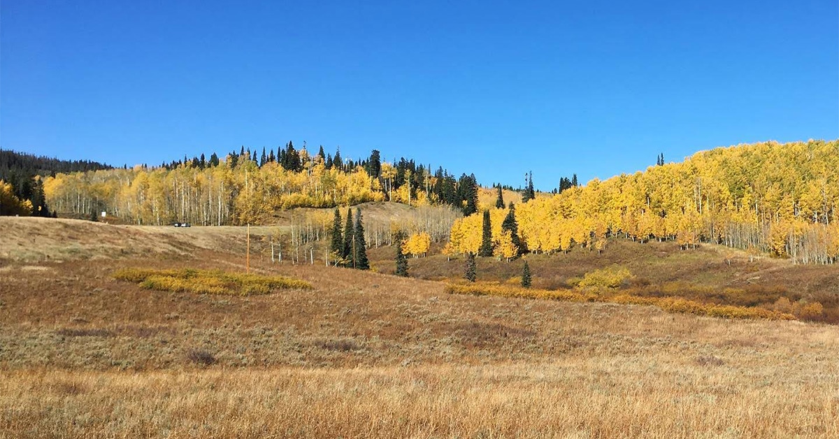
Muddy Pass
Between the communities of Kremmling, Walden, and Steamboat Springs lies the Muddy Pass section of the Continental Divide within Colorado’s North Park landscape. The current Continental Divide Trail route in this area forces users along US HWY 40 and CO HWY 14 for a stretch of about 14 miles. Jake Warnica, the Field Technician Intern based in Granby, CO has been focused on creating a story map of this “gap” along the CDT. This project highlights the history of Muddy Pass and its surrounding communities as well as provides information for the public regarding why the gap remains today and the challenges involved in CDTC’s efforts to close it. The use of a story map helps to visualize these issues for the public by combining data from organizations like the Bureau of Land Management, United States Forest Service, and Colorado Parks and Wildlife. This data highlights factors such as wildlife habitat, environmental sensitivities, and public vs non public lands in the region. Through collaboration with the local communities and land managers alongside these types of initiatives, CDTC hopes to secure a protected and safe route within the North Park region for future generations.
The Muddy Pass story map will be posted soon! (Winter 2023-24)
More information and resources:
https://www.nps.gov/elma/index.htm
https://www.blm.gov/visit/el-malpais-nca
Help Complete the Continental Divide Trail
Add your support through volunteer trail maintenance, donations, advocating for policy, and spreading the love of the trail all help complete the CDT.


