
- This event has passed.
March 30 • 7:45 am - 4:30 pm
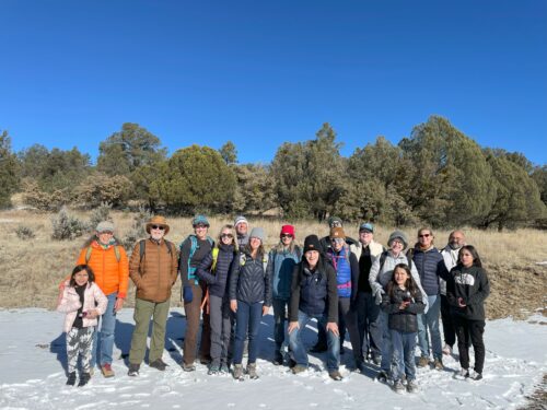
FreeJoin Hike Leaders CDTC Silver City Ambassador, Simon Sotelo, III and Teresa Martinez, CDTC Executive Director, for a fun and adventurous hike along the West Fork of the Gila River.
PLEASE NOTE: You must register for the hike at this link to reserve your spot! Space is available for 25 hikers.
Meet time: 7:45 am
Meeting Place: Murray Ryan Visitor’s Center (201 N Hudson St, Silver City, NM 88061Silver City, NM) Note- this will be a nearly 1.5 hour – 2 hour drive to the trailhead on paved roads, 2-wheel-drive suitable.
What to Bring: snacks, water, sun block, sturdy shoes, layers for warmth. If you have hiking poles please bring them. If you need a day pack please indicate on the sign up so we may reserve one from the gear library.
The hike will finish around 2:30 p.m. and once back to the cars, CDTC will provide picnic lunch for all participants. Picnic will be at the Scorpion Campground where there are picnic tables and places to sit and enjoy a nice lunch in the Gila. If time allows, we will stop at Doc Campbell’s trading post for post hike ice cream!
$25 gas voucher available to aid in participation. (Must indicate ahead of time).
Hike Description:
The first mile of this nearly 6 mile round trip hike will travel through an open meadow. Once we leave the meadow, we will drop into a canyon and there will be several river crossings on our way to 3 mile ruin. The water will be pretty cold, so it is advised to bring a second pair of shoes for river crossing and possible a towel to dry feet. There is a ruin on the side of the cliff and an open space below the cliff where we can take a break and explore the area before our return trip back to the cars.
The river itself is not large in this portion of the canyon, but it is a perennial stream. It meanders through the canyon, hugging wither side of the walls as it flows. The vegetation is a mix of riparian and conifer forests. The West Fork /Three Mile Ruin Trail follows the river for over 30 miles. This is a foot soaker folks! The trail crosses the river 19 times in the first couple of miles alone. Bring sandals!
Area description:
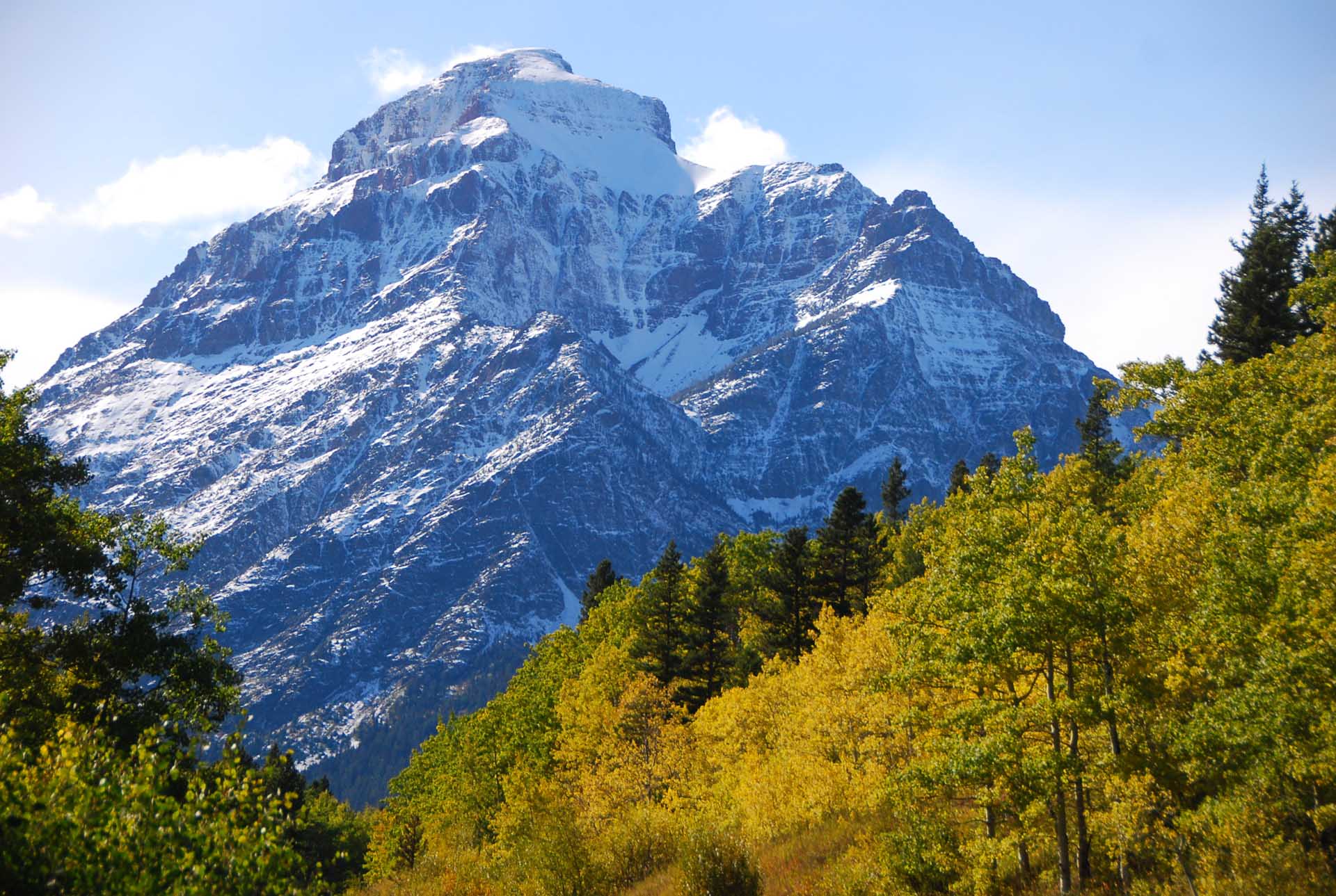
The West Fork Canyon is in the heart of the Gila Wilderness. Its headwaters flow off the east side of the Mogollon Range, a series of 10,000-foot peaks that form the western boundary of the Gila Wilderness. It continues for nearly forty miles before reaching the confluence with the Middle Fork at the Gila Cliff Dwellings National Monument. The Middle Fork Canyon is nearly as spectacular as that of the West Fork, although it lacks the abundance of the unique rock formations that are the hallmark of the West Fork Canyon.
In addition to spectacular scenery, the West Fork Canyon also has fascinating historical significance. Ancient cliff dwellings are found in the canyon walls, in addition to the incredible ruins found at the Gila Cliff Dwellings National Monument. Chiricahua Apache used to make this land home. Indeed, Geronimo claimed to have been born at the river’s headwaters. The observant backpacker will also notice a grave marking the final resting place of a man murdered by a bandit in the 1880’s.
The canyon walls are composed of a unique volcanic rock that ranges from pink to red in color. The rock manifests itself in columns of various shapes; sometimes appearing as spires while at others it resembles melted wax. The rock is very reminiscent of Pinnacles National Monument in California, which is a well-known climbing destination. It may be that the cliffs of the Gila could provide some outstanding routes in a unique, beautiful and wild location.